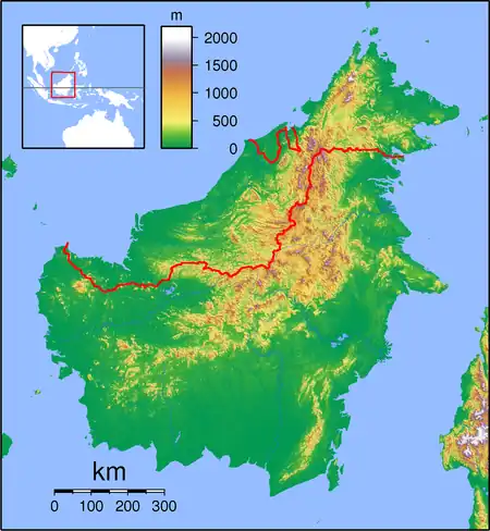
| Tanjung Datu National Park | |
|---|---|
 Tanjung Datu | |
| Location | Sarawak, Malaysia |
| Coordinates | 2°02′N 109°38.5′E / 2.033°N 109.6417°E |
| Area | 7.3 km2 (2.8 sq mi) |
| Established | 1994 |
The Tanjung Datu National Park (Malay: Taman Negara Tanjung Datu) is a national park located in Kuching Division, Sarawak, Malaysia. It is situated in the far west of the state and covers an area of 14 square kilometers.[1]
See also
References
- ↑ Chris Rowthorn. "Around Kuching". Lonely Planet Borneo 1st Edition. p. 181.
This article is issued from Wikipedia. The text is licensed under Creative Commons - Attribution - Sharealike. Additional terms may apply for the media files.