North Vernon Municipal Airport | |||||||||||||||
|---|---|---|---|---|---|---|---|---|---|---|---|---|---|---|---|
| Summary | |||||||||||||||
| Airport type | Public | ||||||||||||||
| Owner | North Vernon BOAC | ||||||||||||||
| Location | North Vernon | ||||||||||||||
| Elevation AMSL | 757.2 ft / 230.8 m | ||||||||||||||
| Coordinates | 39°02′42″N 85°36′14″W / 39.04500°N 85.60389°W | ||||||||||||||
| Website | http://www.nvair.org/ | ||||||||||||||
| Map | |||||||||||||||
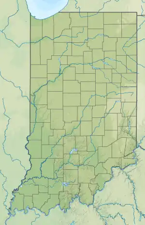
 OVO Location of airport in Indiana/United States  OVO OVO (the United States) | |||||||||||||||
| Runways | |||||||||||||||
| |||||||||||||||
North Vernon Municipal Airport (ICAO: KOVO, FAA LID: OVO) is a public airport 2 miles (3.2 km) northeast of North Vernon, in Jennings County, Indiana. The airport was founded as St. Anne AAF in February 1944 and given to the City of North Vernon in 1948.
References
External links
This article is issued from Wikipedia. The text is licensed under Creative Commons - Attribution - Sharealike. Additional terms may apply for the media files.