Mettel Field | |||||||||||||||
|---|---|---|---|---|---|---|---|---|---|---|---|---|---|---|---|
| Summary | |||||||||||||||
| Airport type | Public | ||||||||||||||
| Owner | Connersville BOAC | ||||||||||||||
| Serves | Connersville, Indiana | ||||||||||||||
| Elevation AMSL | 866 ft / 264 m | ||||||||||||||
| Coordinates | 39°41′54″N 085°07′52″W / 39.69833°N 85.13111°W | ||||||||||||||
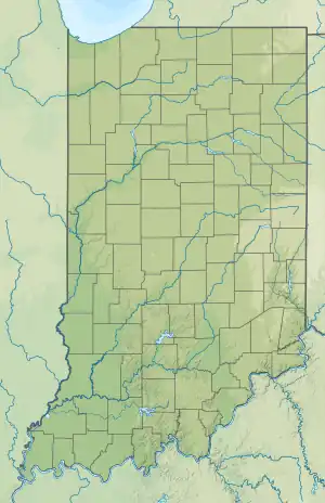
| Map | |||||||||||||||
 CEV  CEV | |||||||||||||||
| Runways | |||||||||||||||
| |||||||||||||||
| Statistics (2009) | |||||||||||||||
| |||||||||||||||
Mettel Field (IATA: CEV[2], ICAO: KCEV, FAA LID: CEV) is a public airport three miles north of Connersville, in Fayette County, Indiana. It is owned by the Connersville Board of Aviation Commissioners.[1] The National Plan of Integrated Airport Systems for 2011–2015 categorized it as a general aviation facility.
For a short time circa 1951 Lake Central scheduled Bonanzas to Mettel.
Facilities
Mettel Field covers 444 acres (180 ha) at an elevation of 866 feet (264 m). It has two runways: 18/36 is 6,503 by 100 feet (1,982 x 30 m) asphalt and 4/22 is 2,601 by 100 feet (793 x 30 m) turf.[1]
In 2009 the airport had 8,772 aircraft operations, average 24 per day: 96% general aviation, 4% air taxi, and <1% military. Nine aircraft were then based at this airport: 78% single-engine and 22% multi-engine.[1]
See also
References
- 1 2 3 4 FAA Airport Form 5010 for CEV PDF. Federal Aviation Administration. Effective May 31, 2012.
- ↑ "Airline and Airport Code Search". International Air Transport Association (IATA). Retrieved November 17, 2012.
External links
- Aerial image from Indiana DOT
- Aerial image as of March 1998 from USGS The National Map
- FAA Terminal Procedures for CEV, effective December 28, 2023
- Resources for this airport:
- FAA airport information for CEV
- AirNav airport information for KCEV
- ASN accident history for CEV
- FlightAware airport information and live flight tracker
- SkyVector aeronautical chart for KCEV