Marion Municipal Airport | |||||||||||||||
|---|---|---|---|---|---|---|---|---|---|---|---|---|---|---|---|
| Summary | |||||||||||||||
| Airport type | Public | ||||||||||||||
| Owner | City of Marion BOAC | ||||||||||||||
| Serves | Marion, Indiana | ||||||||||||||
| Elevation AMSL | 859 ft / 262 m | ||||||||||||||
| Coordinates | 40°29′24″N 085°40′47″W / 40.49000°N 85.67972°W | ||||||||||||||
| Map | |||||||||||||||
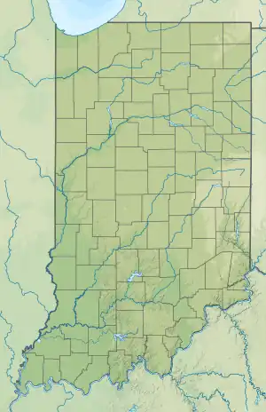
 MZZ  MZZ | |||||||||||||||
| Runways | |||||||||||||||
| |||||||||||||||
| Statistics | |||||||||||||||
| |||||||||||||||
Marion Municipal Airport (IATA: MZZ, ICAO: KMZZ, FAA LID: MZZ) is located three miles southwest of Marion, in Grant County, Indiana.[1] The FAA's National Plan of Integrated Airport Systems for 2021–2025 categorized it as a general aviation facility.[2]
The airport saw commercial airline service by Lake Central Airlines using Douglas DC-3s beginning in 1956. Lake Central merged into Allegheny Airlines in 1968 using Aerospatiale N 262s before service was discontinued in 1970. The airport was then served by small commuter airlines during the 1970s.[3]
Facilities
The airport covers 506 acres (205 ha) at an elevation of 859 feet (262 m). It has two asphalt runways: 4/22 is 6,011 by 100 feet (1,832 x 30 m) and 15/33 is 3,456 by 100 feet (1,053 x 30 m).[1]
In 2019 the airport had 10,873 aircraft operations, an average of 30 per day: 92% general aviation, 7% air taxi and 1% military. In December 2021, there were 40 aircraft based at this airport: 34 single-engine, 2 multi-engine, 2 jet and 2 helicopter.[1]
See also
References
- 1 2 3 4 FAA Airport Form 5010 for MZZ PDF. Federal Aviation Administration. effective December 30, 2021.
- ↑ National Plan of Integrated Airport Systems for 2011–2015: Appendix A (PDF, 2.03 MB) Archived 2012-09-27 at the Wayback Machine. Federal Aviation Administration. Updated 4 October 2010.
- ↑ Official Airline Guide
External links
- Aerial photo as of 11 April 1998 from USGS The National Map
- FAA Terminal Procedures for MZZ, effective December 28, 2023
- Resources for this airport:
- FAA airport information for MZZ
- AirNav airport information for KMZZ
- ASN accident history for MZZ
- FlightAware airport information and live flight tracker
- NOAA/NWS weather observations: current, past three days
- SkyVector aeronautical chart, Terminal Procedures