.png.webp) | |
 King Island  King Island  King Island | |
| Geography | |
|---|---|
| Location | Northern California |
| Coordinates | 38°03′56″N 121°26′12″W / 38.065476°N 121.436617°W |
| Adjacent to | Sacramento-San Joaquin River Delta |
| Area | 3,200 acres (1,300 ha) |
| Administration | |
| State | |
| County | San Joaquin |
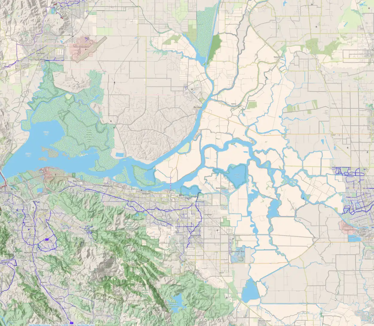
King Island is an island in the north Sacramento-San Joaquin River Delta, twenty kilometres east of Antioch, and twenty kilometres west of Stockton.[1] The 1,300 ha (3,200-acre) island is bounded on the north by White Slough, on the east by Bishop Cut, on the south by Disappointment Slough, and on the west, Honker Cut. It is in San Joaquin County, and managed by Reclamation District 2044.[2] It appears on a 1952 United States Geological Survey map of the area.[3]
See also
References
- ↑ "Delta Report Accepted; Open Campaign To Support Roads, Ferries And Bridge". Stockton Daily Independent. Stockton, California. 1926-10-30. p. 5.
- ↑ "Municipal Service Review: Selected San Joaquin County Reclamation Districts" (PDF). San Joaquin Local Agency Formation Commission. E Mulberg & Associates. 18 March 2018. Retrieved 24 February 2021.
- ↑ United States Geological Survey (1952). "Terminous Quadrangle, California" (Map). United States Department of the Interior Geological Survey. 1:24000.
This article is issued from Wikipedia. The text is licensed under Creative Commons - Attribution - Sharealike. Additional terms may apply for the media files.
