.jpg.webp) Sherman Island from the air. The bridge at bottom connects it to Antioch. The small D-shaped island at the top right is Decker Island. | |
 Sherman Island  Sherman Island  Sherman Island | |
| Geography | |
|---|---|
| Location | Sacramento–San Joaquin River Delta |
| Coordinates | 38°03′34″N 121°44′00″W / 38.0593642°N 121.7332878°W |
| Adjacent to | Sacramento-San Joaquin River Delta |
| Area | 14,000 acres (5,700 ha) |
| Length | 9.5 mi (15.3 km) measured SW–NE |
| Width | 3.0 mi (4.8 km) measured SE–NW |
| Demographics | |
| Population | 233 (2000)[1] |
| Additional information | |
| Official website | www |
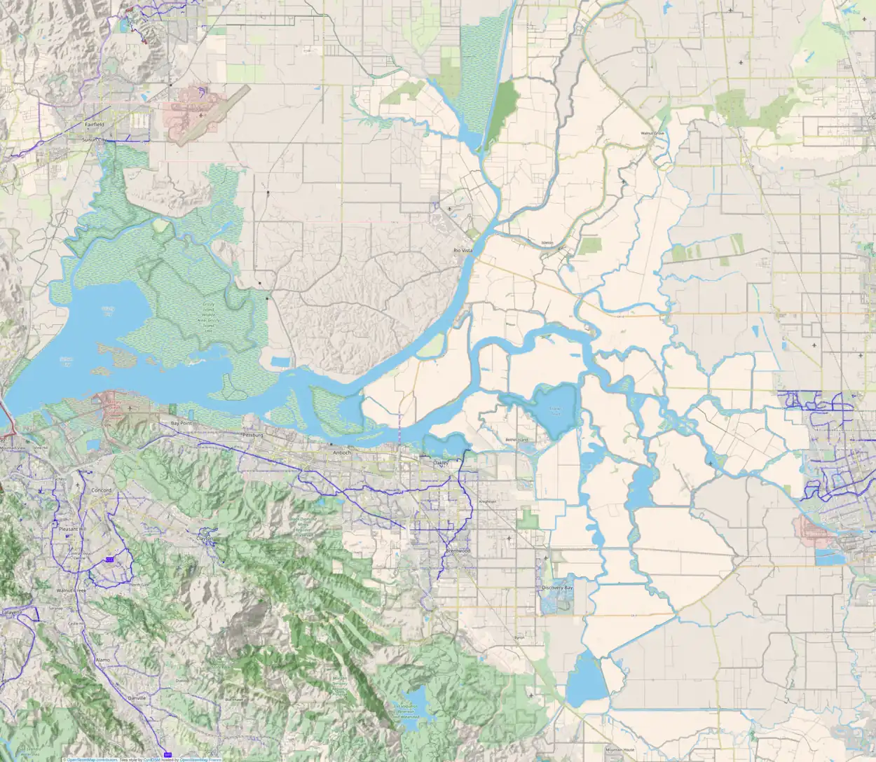
Sherman Island is an island in the Sacramento-San Joaquin River Delta at the confluence of the two rivers in Sacramento County, California, 1.2 miles (1.9 km) northeast of Antioch. The 5,500 ha (14,000 acres) island, mostly managed by Reclamation District 341,[2] is the meeting point of Sacramento, Solano, and Contra Costa Counties, and is bordered on the north and northwest by the Sacramento River, on the northeast by Three Mile Slough, and on the east, and south west by the San Joaquin River. Sherman Island is a widely known kite and windsurfing area.
Sherman Island was shown, in the same location but with a different shape, on an 1850 survey map of the San Francisco Bay area made by Cadwalader Ringgold[3] and an 1854 map of the area by Henry Lange.[4] Currently, it is 10 feet below sea level, due to the drainage of wetlands in the Delta which has dried out its peat soils, resulting in land subsidence. "In ... parts of Sherman Island, the land has now subsided 25 feet since the late 1800s—and continues to sink between half an inch and 1.5 inches yearly." It is possible that simultaneous levee failures on Sherman Island and surrounding islands, occurring in the wake of an earthquake, could threaten the fresh water supply for the Central Valley.[5]
.jpg.webp)
Access
Access to the island is provided by boat and from California State Route 160, which uses the Antioch Bridge to link Sherman Island with the city of Antioch to the south, and the Three Mile Slough Bridge to link Sherman Island with Brannan Island State Recreation Area to the north. In either case, turn south onto Sherman Island Road and continue driving to Mayberry Slough.[6]
Wildlife area

The southwest of the island, known as Lower Sherman Island Wildlife Area, contains about 3,100 acres (1,300 ha) and features a large marshy area and Sherman Lake where there is fish[lower-alpha 1] and other water sports, particularly windsurfing and kiteboarding.[7] This area was designated in 1976 as a wildlife habitat by the California Fish & Game Commission. The Delta Flood Protection Act, enacted after serious flooding occurred in 1986, included flood control improvement projects for Sherman Island, as well as eight other islands. Senate Bill 1065, enacted in 1991, was intended to assure that these islands did not experience any net loss of habitat.[6]
Hours and fees
In 2019, park hours were established as sunrise to sunset year-round. Self-payment is required when no fee collector is present.[8]
Camping
Overnight camping is allowed with the following restrictions:
- Maximum stay is 14 nights, after which a 30-day break is required.
- Camping with self-contained vehicles only (RV's, trailers and vans)
- Camping is not permitted in the boat launch parking lot
Fees
- $6 Vehicle
- $12 Vehicle & Trailer/Oversized Vehicle over 22 feet (6.7 m)
- $24 Bus
- $30 nightly camping
Notes
- ↑ Fishing primarily yields: salmon, steelhead, striped bass and sturgeon.
See also
References
- ↑ Hanson, James C. (May 2009). Sherman Island Five Year Plan SH 08-3.0 (PDF) (Report). Reclamation District 341. Archived (PDF) from the original on 23 June 2010. Retrieved 31 August 2016.
- ↑ "Sacramento County, California Reclamation Districts" (PDF). Sacramento Local Agency Formation Commission. August 2009. Retrieved 24 February 2021.
- ↑ Ringgold, Cadwalader; Stuart, Fred D.; Everett, Chas.; Harrison (1850). "General Chart embracing Surveys of the Farallones Entrance to the Bay of San Francisco, Bays of San Francisco and San Pablo, Straits of Carquines and Suisun Bay, and the Sacramento and San Joaquin Rivers, to the Cities of Sacramento and San Joaquin, California". David Rumsey Map Collection. San Francisco Common Council. Retrieved 25 February 2021.
- ↑ Lange, Henry (1854). "Bai San Francisco und Vereinigung des Sacramento mit dem San Joaquin". David Rumsey Map Collection. George Westermann. Retrieved 25 February 2021.
- ↑ Velasquez-Manoff, Moises. "Want to Prevent California's Katrina? Grow a Marsh". Bay Nature. Retrieved 2019-10-19.
- 1 2 "Lower Sherman Island Wildlife Area." California Department of Fish and Wildlife. August 6, 2019. Accessed September 29, 2019.
- ↑ "Sherman Island Kiteboarding: A Powerful California Delta Experience". Ze Wandering Frogs. 2015-09-08. Retrieved 2019-10-19.
- ↑ "Sherman Island." Sacramento County Regional Parks. 2019. Accessed September 30, 2019.
External links
 Media related to Sherman Island (California) at Wikimedia Commons
- U.S. Geological Survey Geographic Names Information System: Sherman Island (California)
- Sherman Island Fishing Map
