 USGS aerial imagery of Ward Island, with Medford Island to its west, Empire Tract to its northeast, and Tinsley Island to its southeast. | |
 Ward Island  Ward Island  Ward Island | |
| Geography | |
|---|---|
| Location | Northern California |
| Coordinates | 38°02′30″N 121°30′09″W / 38.04167°N 121.50250°W[1] |
| Adjacent to | Sacramento–San Joaquin River Delta |
| Highest elevation | 7 ft (2.1 m)[1] |
| Administration | |
United States | |
| State | |
| County | San Joaquin |
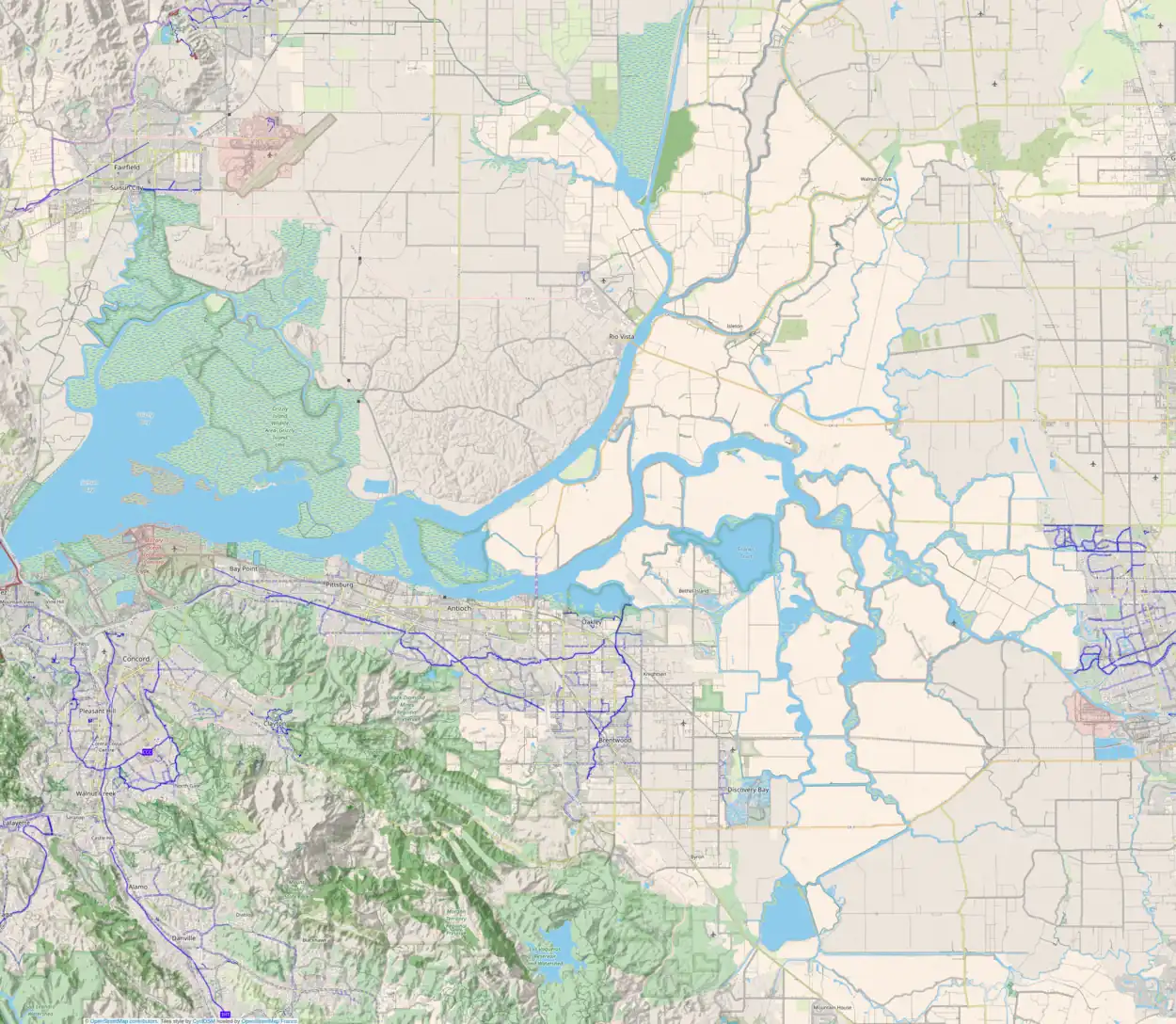
Ward Island (also known as Wards Island)[1] is a small island in the Sacramento–San Joaquin River Delta.[2][3][4][5] It is part of San Joaquin County, California. Its coordinates are 38°02′30″N 121°30′09″W / 38.04167°N 121.50250°W[1], and the United States Geological Survey measured its elevation as 7 ft (2.1 m) in 1981.[1] It appears on a 1952 USGS map of the area.[6]
References
- 1 2 3 4 5 U.S. Geological Survey Geographic Names Information System: Ward Island
- ↑ "Salmon, Striped Bass Respond In Some Waters; Trout Also Show Less Shyness". The Sacramento Bee. Sacramento, California. 1956-04-20. p. 27.
- ↑ "Probe Murder On Delta Island". Contra Costa Gazette. Martinez, California. 1946-04-20. p. 3.
- ↑ "Fisherman Faces Charges for Netting Stripers". Courier-Journal. Walnut Creek, California. 1951-06-14. p. 2.
- ↑ "Even The Fish Are Suckers For Spring". Lodi News-Sentinel. Lodi, California. 1947-03-15. p. 4.
- ↑ United States Geological Survey (1952). "Terminous Quadrangle, California" (Map). United States Department of the Interior Geological Survey. 1:24000.
This article is issued from Wikipedia. The text is licensed under Creative Commons - Attribution - Sharealike. Additional terms may apply for the media files.
