| Państwo | |
|---|---|
| Stan | |
| Burmistrz |
Graham Buryr |
| Powierzchnia |
718,7[1] km² |
| Populacja • liczba ludności |
|
 | |
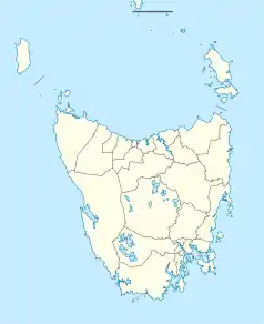
Położenie na mapie Tasmanii  | |
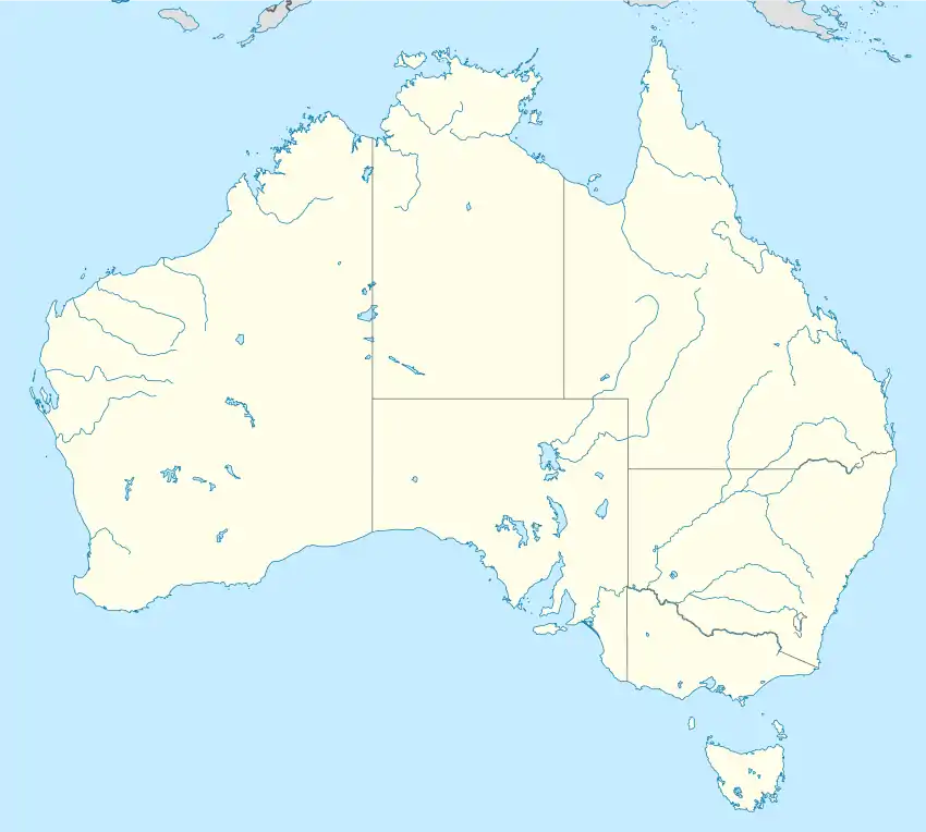
Położenie na mapie Australii  | |
| Strona internetowa | |
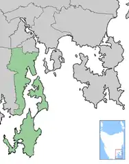
Kingborough Council – obszar samorządu lokalnego (ang. local government area), położona w południowej części aglomeracji Hobart. Część Kingborough położona jest na wyspie Bruny. Obszar ten zamieszkuje 32 228 osób (dane z 2007). Ważniejsze miasta: Kettering, Margate i Snug.
W celu identyfikacji samorządu Australian Bureau of Statistics wprowadziło czterocyfrowy kod dla gminy Kingborough – 3610[3].
Zobacz też
Przypisy
- ↑ Australian Board of Statistics - Australian Board of Statistics - National Regional Profile, gegevens van 2004
- ↑ Regional Population Growth, Australia
- ↑ Australian Bureau of Statistics. Alphabetic list of Local Government Areas (LGAs) and Statistical Local Areas (SLAs) – Tasmania, [dostęp 30 września 2011].
This article is issued from Wikipedia. The text is licensed under Creative Commons - Attribution - Sharealike. Additional terms may apply for the media files.
