| Państwo | |
|---|---|
| Stan | |
| Burmistrz |
Bev Colomb |
| Powierzchnia |
723.1 km² |
| Populacja • liczba ludności |
|
 | |
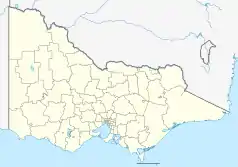
Położenie na mapie Wiktorii  | |
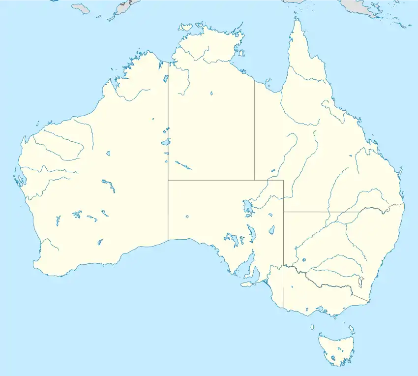
Położenie na mapie Australii  | |
| Strona internetowa | |
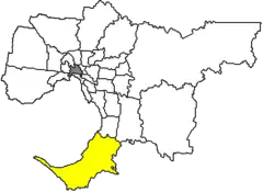
Hrabstwo Mornington Peninsula – obszar samorządu lokalnego (ang. local government area), położony w południowej części aglomeracja Melbourne. Hrabstwo Mornington Peninsula zostało założone w 1994 roku z połączenia hrabstw: Flinders, Hastings i Mornington. Obszar ten zamieszkuje 136 482 (dane z 2006). W okresie letnim liczba ludności zwiększa się o 30%.
Dzielnice
- Arthurs Seat
- Balnarring
- Balnarring Beach
- Baxter
- Bittern
- Blairgowrie
- Boneo
- Cape Schanck
- Crib Point
- Dromana
- Flinders
- Hastings
- HMAS Cerberus
- Main Ridge
- Merricks
- Merricks Beach
- Merricks North
- Moorooduc
- Mornington
- Mount Eliza
- Mount Martha
- Point Leo
- Portsea
- Red Hill
- Red Hill South
- Rosebud
- Rosebud West
- Rye
- Safety Beach
- Shoreham
- Somers
- Somerville
- Sorrento
- Tootgarook
- Tyabb
Zobacz też
This article is issued from Wikipedia. The text is licensed under Creative Commons - Attribution - Sharealike. Additional terms may apply for the media files.
