| Państwo | |
|---|---|
| Stan | |
| Burmistrz |
Cr Jack Wegman |
| Powierzchnia |
60 km² |
| Populacja • liczba ludności |
|
 | |
Położenie na mapie Melbourne 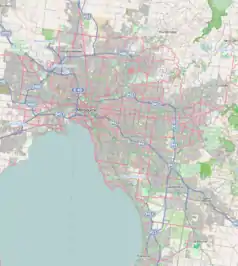 | |
Położenie na mapie Australii  | |
Położenie na mapie Wiktorii 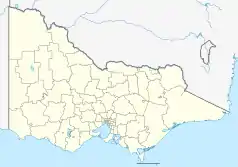 | |
| Strona internetowa | |
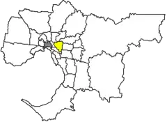
City of Boroondara – obszar samorządu lokalnego (ang. local government area), położony we wschodniej części aglomeracji Melbourne. Powstała w 1994 roku. Według danych z 2006 obszar ten zamieszkiwało 154 450 osób.
Dzielnice

Camberwell City Hall
- Ashburton
- Balwyn
- Balwyn North
- Camberwell
- Canterbury
- Glen Iris
- Hawthorn
- Hawthorn East
- Kew
- Kew East
- Mont Albert
- Surrey Hills
Zobacz też
This article is issued from Wikipedia. The text is licensed under Creative Commons - Attribution - Sharealike. Additional terms may apply for the media files.
