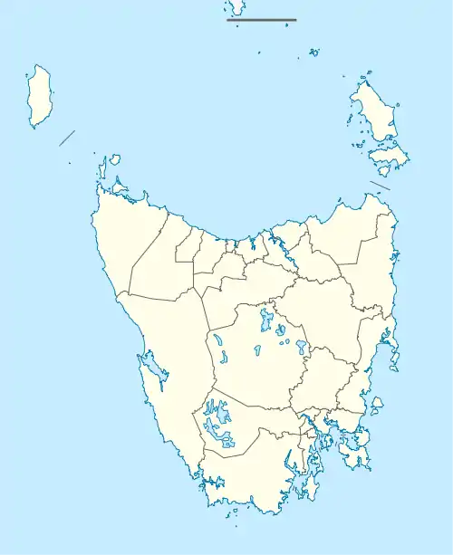
| Stowport Burnie, Tasmania | |||||||||||||||
|---|---|---|---|---|---|---|---|---|---|---|---|---|---|---|---|
 Stowport | |||||||||||||||
| Coordinates | 41°07′S 145°56′E / 41.117°S 145.933°E | ||||||||||||||
| Population | 404 (2016)[1] | ||||||||||||||
| Postcode(s) | 7321 | ||||||||||||||
| Location | 11 km (7 mi) SE of Burnie | ||||||||||||||
| LGA(s) | City of Burnie | ||||||||||||||
| Region | North-west and west | ||||||||||||||
| State electorate(s) | Braddon | ||||||||||||||
| Federal division(s) | Braddon | ||||||||||||||
| |||||||||||||||
Stowport is a rural residential locality in the local government area (LGA) of Burnie in the North-west and west LGA region of Tasmania. The locality is about 11 kilometres (6.8 mi) south-east of the town of Burnie. The 2016 census has a population of 404 for the state suburb of Stowport.[1] It includes Glance Creek in its population statistics.
While there is some residential allotments the area is mainly agricultural farming land. One of the historical farms was called "Karingal" c. 1910.[2] Chasm Creek Runs down through the property.
There is a community hall (Stowport Hall) and a local butchery.
Glance Creek Estate, a winery established in 2011, is located in Stowport near Burnie in Northern Tasmania. It produces grapes and various fruit wines including myrtus and blueberry.
History
Stowport was used as a parish name in 1856, and a town plan was produced about 1900. Stowport was gazetted as a locality in 1966.[3]
Geography
The Blythe River forms the eastern boundary, and Emu River forms the western.[4]
Road infrastructure
The C102 route (Stowport Road / Natone Road) passes through from north-west to south-east. Route C113 (Minna Road) starts at an intersection with C102 and runs north-east until it exits. Route C114 (Upper Stowport Road) starts at an intersection with C102 and runs south until it exits.[3][5]
Sport
Cricket
The Stowport Cricket Club compete in the Burnie Cricket league.
References
- 1 2 "2016 Census Quick Stats Stowport (Tas.)". quickstats.censusdata.abs.gov.au. Australian Bureau of Statistics. 23 October 2017. Retrieved 13 September 2020.
- ↑ ""Karingal" Stowport, 463 Stowport Road". landmark harcourts. Retrieved 28 March 2016.
- 1 2 "Placenames Tasmania – Stowport". Placenames Tasmania. Select "Search", enter "1261J", click "Search", select row, map is displayed, click "Details". Retrieved 13 September 2020.
- ↑ Google (13 September 2020). "Stowport, Tasmania" (Map). Google Maps. Google. Retrieved 13 September 2020.
- ↑ "Tasmanian Road Route Codes" (PDF). Department of Primary Industries, Parks, Water & Environment. May 2017. Archived from the original (PDF) on 1 August 2017. Retrieved 13 September 2020.