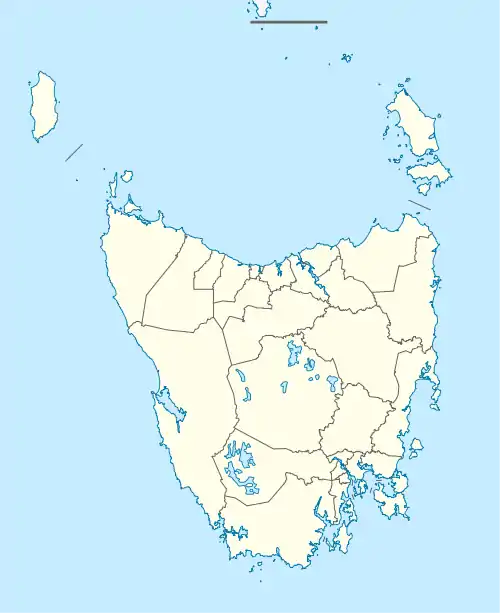
| Camdale Tasmania | |||||||||||||||
|---|---|---|---|---|---|---|---|---|---|---|---|---|---|---|---|
 Camdale | |||||||||||||||
| Coordinates | 41°02′35″S 145°50′51″E / 41.0430°S 145.8474°E | ||||||||||||||
| Population | 72 (2016 census)[1] | ||||||||||||||
| Postcode(s) | 7320 | ||||||||||||||
| Location | 7.5 km (5 mi) W of Burnie | ||||||||||||||
| LGA(s) | Burnie | ||||||||||||||
| Region | North West Tasmania | ||||||||||||||
| State electorate(s) | Braddon | ||||||||||||||
| Federal division(s) | Braddon | ||||||||||||||
| |||||||||||||||
Camdale is a locality and small rural community in the local government area of Burnie, in the North West region of Tasmania. It is located about 7.5 kilometres (4.7 mi) west of the town of Burnie. The Cam River forms its western boundary, Bass Strait the northern boundary, and the Bass Highway follows the northern boundary.[2] The 2016 census determined a population of 72 for the state suburb of Camdale.[1]
History
The locality of Somerset, to the west of the Cam River, was originally known as Port Maldon.[3] An 1858 map[4] shows Port Maldon to the east of the river, on part of the current locality of Camdale. In 1960 the then Municipality of Burnie proposed the name “Maldon” for the locality.[5]
Road infrastructure
The C109 route (East Cam Road) terminates at the Bass Highway in Camdale. It runs south to East Cam, and from there provides access to many localities, including Waratah.[6]
Native wildlife
The coast of Bass Strait at Camdale is a location where little penguins come ashore. Local volunteers build and maintain fences to prevent them from attempting to cross the Bass Highway, where some have been killed.[7]
Sporting facilities
The Burnie Golf Club, whose course occupies land in East Cam to the south, is accessed from Camdale.[8]
References
- 1 2 "2016 Census Quick Stats Camdale (Tas.)". quickstats.censusdata.abs.gov.au. Australian Bureau of Statistics. 23 October 2017. Retrieved 18 November 2018.
- ↑ Google (18 November 2018). "Camdale, Tasmania" (Map). Google Maps. Google. Retrieved 18 November 2018.
- ↑ Jackie Browne (2003). "Changes in Tasmanian Place Names". Tasmanian Family History Society. Archived from the original on 3 February 2019. Retrieved 18 November 2018.
- ↑ "Township of Port Maldon". Trove. Jas. Truscott & Son. 1858. Retrieved 18 November 2018.
- ↑ "Placenames Tasmania - Camdale". Placenames Tasmania. Search, enter 4257B, Search, select row, show Details. Retrieved 18 November 2018.
- ↑ "Tasmanian Road Route Codes" (PDF). Department of Primary Industries, Parks, Water & Environment. May 2017. Archived from the original (PDF) on 1 August 2017. Retrieved 18 November 2018.
- ↑ Kathy Grieveson. "Cooee-Camdale Coastcare - Fixing Penguin Fencing" (PDF). Cooee-Camdale Coastcare. Retrieved 18 November 2018.
- ↑ "Welcome to the Burnie Golf Club". Burnie Golf Club. Retrieved 18 November 2018.