Stornara | |
|---|---|
| Comune di Stornara | |
Location of Stornara | |
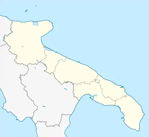
 Stornara Location of Stornara in Italy  Stornara Stornara (Apulia) | |
| Coordinates: 41°17′N 15°46′E / 41.283°N 15.767°E | |
| Country | Italy |
| Region | |
| Province | Foggia (FG) |
| Frazioni | Cerignola, Ordona, Orta Nova, Stornarella |
| Area | |
| • Total | 33.65 km2 (12.99 sq mi) |
| Elevation | 74 m (243 ft) |
| Population (31 December 2003)[2] | |
| • Total | 4,805 |
| • Density | 140/km2 (370/sq mi) |
| Demonym | Stornaresi |
| Time zone | UTC+1 (CET) |
| • Summer (DST) | UTC+2 (CEST) |
| Postal code | 71047 |
| Dialing code | 0885 |
| ISTAT code | 071054 |
| Patron saint | San Rocco |
| Saint day | 16 August |
Stornara is a town and comune in the province of Foggia in the Apulia region of southeast Italy.
Stornara Airfield
Stornara Airfield was a semi-permanent heavy bomber airfield located approximately 14 km (10 mi) west of Cerignola in Apulia, Italy 41°17′30″N 015°44′30″E / 41.29167°N 15.74167°E Its single PSP runway with extensive taxiway and hardstand parking areas and steel control tower were built by the US Army Corps Of Enigineers in September 1943. The air field opened in January 1944. The only known unit to operate from the field was the 456th Bombardment Group, from January 1944 until July 1945. 456BG consisted of 744, 745, 746 and 747 Bomb Squadrons, flying B-24 Liberators. The airfield remained operational until the end of the war and the airfield closed in August 1945. It is used today as agricultural land.
References
- ↑ "Superficie di Comuni Province e Regioni italiane al 9 ottobre 2011". Italian National Institute of Statistics. Retrieved 16 March 2019.
- ↑ All demographics and other statistics from the Italian statistical institute (Istat)