Rignano Garganico | |
|---|---|
| Comune di Rignano Garganico | |
 Coat of arms | |
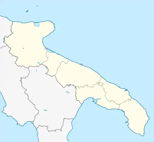
Location of Rignano Garganico | |
 Rignano Garganico Location of Rignano Garganico in Italy  Rignano Garganico Rignano Garganico (Apulia) | |
| Coordinates: 41°41′N 15°35′E / 41.683°N 15.583°E | |
| Country | Italy |
| Region | Apulia |
| Province | Foggia (FG) |
| Government | |
| • Mayor | Luigi Di Fiore |
| Area | |
| • Total | 89.4 km2 (34.5 sq mi) |
| Elevation | 590 m (1,940 ft) |
| Population (28 February 2017)[2] | |
| • Total | 2,033 |
| • Density | 23/km2 (59/sq mi) |
| Demonym | Rignanesi |
| Time zone | UTC+1 (CET) |
| • Summer (DST) | UTC+2 (CEST) |
| Postal code | 71010 |
| Dialing code | 0882 |
| Patron saint | St. Roch |
| Saint day | 16 August |
| Website | Official website |
Rignano Garganico is a town and comune of the province of Foggia in the Apulia region of southern Italy.
Geography
Apricena, Foggia, San Marco in Lamis, San Severo and San Giovanni Rotondo are neighbouring towns. In 2017, migrants were removed from a refugee camp setup in Rignano Garganico.[3]
Main sights
- Paglicci Cave and the annexed museum
References
- ↑ "Superficie di Comuni Province e Regioni italiane al 9 ottobre 2011". Italian National Institute of Statistics. Retrieved 16 March 2019.
- ↑ All demographics and other statistics from the Italian statistical institute (Istat)
- ↑ "Shame Is Keeping Us Here, Say African Migrants in Italy". The Wire. Retrieved 2018-11-20.
This article is issued from Wikipedia. The text is licensed under Creative Commons - Attribution - Sharealike. Additional terms may apply for the media files.