Sant'Agata di Puglia | |
|---|---|
| Comune di Sant'Agata di Puglia | |
 | |
Location of Sant'Agata di Puglia | |
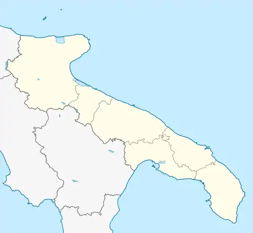
 Sant'Agata di Puglia Location of Sant'Agata di Puglia in Italy  Sant'Agata di Puglia Sant'Agata di Puglia (Apulia) | |
| Coordinates: 41°9′10″N 15°22′51″E / 41.15278°N 15.38083°E | |
| Country | Italy |
| Region | Apulia |
| Province | Foggia (FG) |
| Government | |
| • Mayor | Pietro Bove |
| Area | |
| • Total | 115.80 km2 (44.71 sq mi) |
| Elevation | 794 m (2,605 ft) |
| Highest elevation | 949 m (3,114 ft) |
| Lowest elevation | 235 m (771 ft) |
| Population (28 February 2017)[3] | |
| • Total | 2,305 |
| • Density | 20/km2 (52/sq mi) |
| Demonym | Santagatesi |
| Time zone | UTC+1 (CET) |
| • Summer (DST) | UTC+2 (CEST) |
| Postal code | 71028 |
| Dialing code | 0881 |
| Patron saint | Sant'Agata, San Rocco, and San Lorenzo |
| Saint day | 5 February; 16 August and 10 August |
| Website | Official website |
Sant'Agata di Puglia (Neapolitan: Santaheta) is a town and comune in the province of Foggia in the Apulia region of southeast Italy.
Its territory borders the municipalities of Accadia, Anzano di Puglia, Candela, Deliceto, Lacedonia (AV), Monteleone di Puglia, Rocchetta Sant'Antonio, and Scampitella (AV).
References
- ↑ "Superficie di Comuni Province e Regioni italiane al 9 ottobre 2011". Italian National Institute of Statistics. Retrieved 16 March 2019.
- ↑ "Sant'Agata di Puglia". Comuni Italiani (in Italian).
- ↑ All demographics and other statistics from the Italian statistical institute (Istat)
This article is issued from Wikipedia. The text is licensed under Creative Commons - Attribution - Sharealike. Additional terms may apply for the media files.