 | ||||
|---|---|---|---|---|
| Quốc lộ 1B | ||||
 | ||||
| Route information | ||||
| Length | 135 km (84 mi) | |||
| Major junctions | ||||
| East end | ||||
| ||||
| East end | intersection near the Gia Bay Bridge, Thái Nguyên | |||
| Location | ||||
| Country | Vietnam | |||
| Highway system | ||||
| ||||
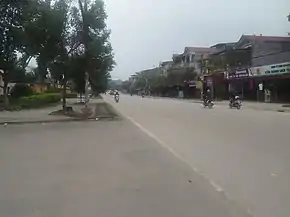
National Route 1B is a 135 km long Vietnamese highway. The starting point is in Dong Dang town, Cao Loc district, Lang Son province at the intersection of National highways 1 and 4A. The end of the route is at the crossroads near Gia Bay bridge in Thai Nguyen city. National Route 1B runs through the districts of Cao Loc, Van Quan, Binh Gia, Bac Son, Vo Nhai, and Dong Hy.[1]
References
- ↑ "Hơn 1.113 tỷ đồng nâng cấp QL1B tỉnh Thái Nguyên". thoibaotaichinhvietnam.vn (in Vietnamese). Retrieved 2019-10-17.
This article is issued from Wikipedia. The text is licensed under Creative Commons - Attribution - Sharealike. Additional terms may apply for the media files.
