| Kaukapakapa River | |
|---|---|
.jpg.webp) | |
Route of the Kaukapakapa River | |
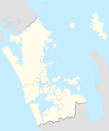
 Mouth of the Kaukapakapa River  Kaukapakapa River (New Zealand) | |
| Location | |
| Country | New Zealand |
| Region | Auckland Region |
| Physical characteristics | |
| Source | Confluence of the Waipapakara Stream and Waitoki Stream |
| • coordinates | 36°37′54″S 174°32′57″E / 36.6317°S 174.5491°E |
| Mouth | Kaipara River |
• coordinates | 36°38′43″S 174°26′37″E / 36.645278°S 174.443611°E |
| Length | 18 km (11 mi) |
| Basin features | |
| Progression | Kaukapakapa River → Kaipara River → Kaipara Harbour |
| Tributaries | |
| • left | Waikaitamure Stream, Waikahikatea Stream, Ourauwhare River |
| • right | Te Kuru Stream |
| Bridges | Shanks Bridge |
The Kaukapakapa River is a river of New Zealand's North Island. It flows west, reaching the southernmost point of the Kaipara Harbour close to the town of Helensville. The small township of Kaukapakapa lies on the banks of the river, some 5 kilometres (3 mi) from its mouth.
See also
References
- "Place name detail: Kaukapakapa River". New Zealand Gazetteer. New Zealand Geographic Board. Retrieved 12 July 2009.
This article is issued from Wikipedia. The text is licensed under Creative Commons - Attribution - Sharealike. Additional terms may apply for the media files.