| Jilarata | |
|---|---|
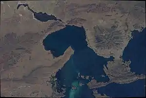
 Jilarata near Wiñaymarka Lake as seen from the ISS (upper center, left; north is to the lower right part of this image) | |
| Highest point | |
| Elevation | 4,355 m (14,288 ft)[1] |
| Coordinates | 16°36′15″S 68°59′40″W / 16.60417°S 68.99444°W |
| Geography | |
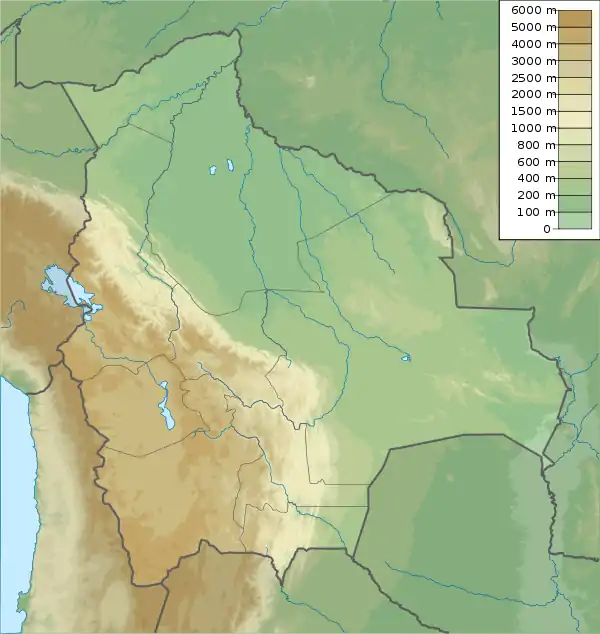
 Jilarata Location within Bolivia | |
| Location | Bolivia La Paz Department |
| Parent range | Andes, Chilla-Kimsa Chata |
Jilarata is a 4,355-metre-high (14,288 ft) mountain in the Chilla-Kimsa Chata mountain range in the Andes of Bolivia. It is located in the La Paz Department, Ingavi Province, Desaguadero Municipality. Jilarata lies south of Wiñaymarka Lake, the southern branch of Lake Titicaca, near Desaguadero and the Peruvian border. Janq'u Jaqhi is northeast of it.[1][2]
References
- 1 2 IGM map 1:50,000 5844-III Guaqui
- ↑ "Desaguadero". INE, Bolivia. Archived from the original on October 25, 2014. Retrieved February 5, 2016.
This article is issued from Wikipedia. The text is licensed under Creative Commons - Attribution - Sharealike. Additional terms may apply for the media files.
