| Jilarata | |
|---|---|
 | |
| Highest point | |
| Elevation | 4,594 m (15,072 ft)[1] |
| Coordinates | 19°35′28″S 67°38′40″W / 19.59111°S 67.64444°W |
| Geography | |
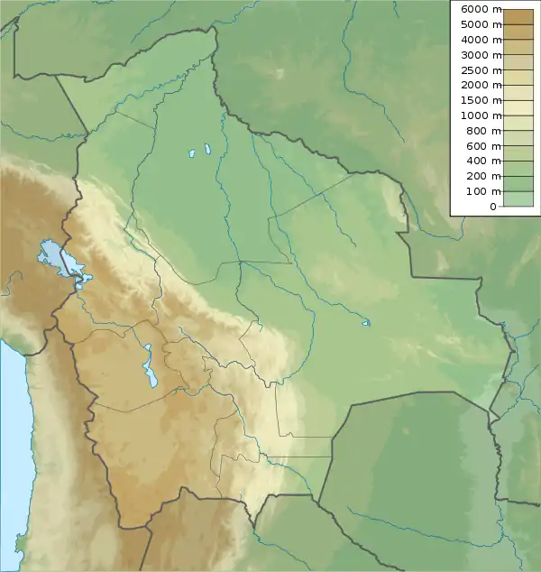
 Jilarata Location within Bolivia | |
| Location | Bolivia, Oruro Department |
| Parent range | Andes |
Jilarata is a 4,594-metre-high (15,072 ft) mountain in the Andes of Bolivia. It is located in the Oruro Department, Ladislao Cabrera Province, Salinas de Garci Mendoza Municipality. It lies near the Uyuni salt flat, north of Tunupa.[1][2]
References
- 1 2 Bolivian IGM map 1:50,000 Salinas de Garci Mendoza 6035-II
- ↑ "Salinas de Garci Mendoza". Archived from the original on January 27, 2016. Retrieved February 2, 2016. (unnamed)
This article is issued from Wikipedia. The text is licensed under Creative Commons - Attribution - Sharealike. Additional terms may apply for the media files.
