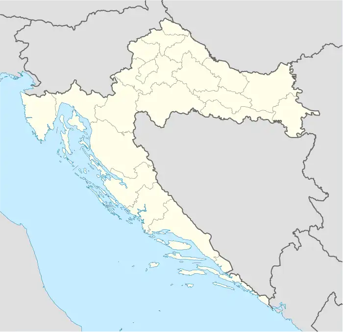
Gola | |
|---|---|
 Gola | |
| Coordinates: 46°12′N 17°03′E / 46.200°N 17.050°E | |
| Country | |
| County | Koprivnica-Križevci |
| Area | |
| • Total | 75.9 km2 (29.3 sq mi) |
| Population (2021)[2] | |
| • Total | 2,078 |
| • Density | 27/km2 (71/sq mi) |
| Time zone | UTC+1 (CET) |
| • Summer (DST) | UTC+2 (CEST) |
| Website | gola |
Gola is a municipality in the Koprivnica-Križevci County in Croatia. According to the 2011 census, there are 2,431 inhabitants in the area,[3] with Croats forming an absolute majority.
History
In the late 19th century and early 20th century, Gola was part of the Bjelovar-Križevci County of the Kingdom of Croatia-Slavonia. Gola had a railway station on the Barcs - Nagykanizsa railway line (opened in 1868) in Hungarian territory. The use of the station for Gola district citizens was possible and were ruled under a special Hungarian - Yugoslav agreement until World War II. After the Cold War started, the access through the border was prohibited. The last train stopped at Gola station on 18 June 1951 at 3:50 p.m.(1, "[...]the last train is number 2407. For the train nr. 1401 Berzence station asks already Gyékényes station for permission.[...]") After 1956 even the station building was demolished.
Demographics
The population of the municipality broken down into villages according to the 2011 census is:[3]
References
- ↑ Register of spatial units of the State Geodetic Administration of the Republic of Croatia. Wikidata Q119585703.
- ↑ "Population by Age and Sex, by Settlements, 2021 Census". Census of Population, Households and Dwellings in 2021. Zagreb: Croatian Bureau of Statistics. 2022.
- 1 2 "Population by Age and Sex, by Settlements, 2011 Census: Gola". Census of Population, Households and Dwellings 2011. Zagreb: Croatian Bureau of Statistics. December 2012.
