Deep Water, West Virginia | |
|---|---|
 Virginian Railway bridge in Deepwater | |
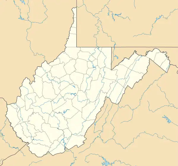
 Deep Water Location within the state of West Virginia  Deep Water Deep Water (the United States) | |
| Coordinates: 38°7′36″N 81°15′49″W / 38.12667°N 81.26361°W | |
| Country | United States |
| State | West Virginia |
| County | Fayette |
| Area | |
| • Total | 0.993 sq mi (2.57 km2) |
| • Land | 0.882 sq mi (2.28 km2) |
| • Water | 0.111 sq mi (0.29 km2) |
| Population | |
| • Total | 280 |
| • Density | 280/sq mi (110/km2) |
| Time zone | UTC-5 (Eastern (EST)) |
| • Summer (DST) | UTC-4 (EDT) |
| ZIP codes | 25057 |
| GNIS feature ID | 1554279[3] |
Deep Water, also known historically as Deepwater,[3] is a census-designated place on the Kanawha River in Fayette County, West Virginia, United States. As of the 2010 census, its population was 280.[2] It is best known as the starting point of the Deepwater Railway founded in 1898 by William N. Page, which was merged to create the Virginian Railway in 1907.
Located near the head of navigation of the Kanawha River just a short distance downstream from Kanawha Falls, it may have been named for that reason.[4] However, according to local legend, as recounted by H. Reid in The Virginian Railway (Kalmbach, 1961), it was named by Squire James Galsepy Kincaid and other locals on a rainy day in 1871 as a commentary on the standing groundwater outside the new post office along Loup Creek.
References
- ↑ "US Gazetteer files: 2010, 2000, and 1990". United States Census Bureau. February 12, 2011. Retrieved April 23, 2011.
- 1 2 "U.S. Census website". United States Census Bureau. Retrieved May 14, 2011.
- 1 2 Geographic Names Information System. "Geographic Names Information System entry for Deep Water (Feature ID #1554279)". Retrieved March 9, 2007.
- ↑ Kenny, Hamill (1945). West Virginia Place Names: Their Origin and Meaning, Including the Nomenclature of the Streams and Mountains. Piedmont, WV: The Place Name Press. p. 204.
