Boomer, West Virginia | |
|---|---|
Census-designated place (CDP) | |
 Houses in Boomer in 1975 | |
 Boomer  Boomer | |
| Coordinates: 38°09′02″N 81°17′14″W / 38.15056°N 81.28722°W | |
| Country | United States |
| State | West Virginia |
| County | Fayette |
| Area | |
| • Total | 1.481 sq mi (3.84 km2) |
| • Land | 1.382 sq mi (3.58 km2) |
| • Water | 0.099 sq mi (0.26 km2) |
| Elevation | 646 ft (197 m) |
| Population | |
| • Total | 615 |
| • Density | 420/sq mi (160/km2) |
| Time zone | UTC-5 (Eastern (EST)) |
| • Summer (DST) | UTC-4 (EDT) |
| ZIP code | 25031 |
| Area code(s) | 304 & 681 |
| GNIS feature ID | 1536227[3] |
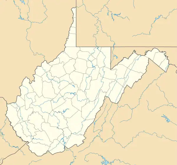
Boomer is a census-designated place (CDP) in Fayette County, West Virginia, United States. Boomer is located on the north bank of the Kanawha River, 2 miles (3.2 km) southeast of Smithers. Boomer has a post office with ZIP code 25031.[4] As of the 2010 census, its population was 615.[2]
History
The community takes its name from nearby Boomer Branch Creek.[5]
The Boomer Coal and Coke Company operated four drift opening mines in Boomer Hollow during the early 1900s. The mine employed a large number of locals, to include many Italian immigrants who settled in the small town. On November 30, 1915, there was an explosion at the Number 2 Mine, which left 23 miners dead. 27 miners were rescued from the mine seven hours after the explosion, after they baracaded themselves into an area with fresh air.[6]
On February 16, 2015, the town, along with neighboring Adena Village, was evacuated following the derailment of a C&O train consisting of two locomotives and 109 rail cars. The train, carrying crude oil, quickly exploded into a fireball, destroying one residence and causing substantial damage to surrounding residences in both Adena Village and Boomer. Crude oil swiftly flowed into the Kanawha River and set the water ablaze for over a half mile.[7]
Demographics
2020 census
| Race / Ethnicity | Pop 2010[8] | Pop 2020[9] | % 2010 | % 2020 |
|---|---|---|---|---|
| White alone (NH) | 524 | 491 | 85.20% | 81.97% |
| Black or African American alone (NH) | 72 | 49 | 11.71% | 8.18% |
| Native American or Alaska Native alone (NH) | 1 | 0 | 0.16% | 0.00% |
| Asian alone (NH) | 1 | 0 | 0.16% | 0.00% |
| Pacific Islander alone (NH) | 0 | 0 | 0.00% | 0.00% |
| Some Other Race alone (NH) | 1 | 4 | 0.16% | 0.67% |
| Mixed Race/Multi-Racial (NH) | 12 | 51 | 1.95% | 8.51% |
| Hispanic or Latino (any race) | 4 | 4 | 0.65% | 0.67% |
| Total | 615 | 599 | 100.00% | 100.00% |
References
- ↑ "US Gazetteer files: 2010, 2000, and 1990". United States Census Bureau. February 12, 2011. Retrieved April 23, 2011.
- 1 2 "U.S. Census website". United States Census Bureau. Retrieved May 14, 2011.
- ↑ U.S. Geological Survey Geographic Names Information System: Boomer, West Virginia
- ↑ ZIP Code Lookup Archived June 14, 2011, at the Wayback Machine
- ↑ Kenny, Hamill (1945). West Virginia Place Names: Their Origin and Meaning, Including the Nomenclature of the Streams and Mountains. Piedmont, WV: The Place Name Press. p. 124.
- ↑ "Boomer No. 2 Mine Explosion". usminedisasters.miningquiz.com. Retrieved September 30, 2021.
- ↑ BBC News article on the accident
- ↑ "P2 HISPANIC OR LATINO, AND NOT HISPANIC OR LATINO BY RACE – 2010: DEC Redistricting Data (PL 94-171) – Boomer CDP, West Virginia". United States Census Bureau.
- ↑ "P2 HISPANIC OR LATINO, AND NOT HISPANIC OR LATINO BY RACE - 2020: DEC Redistricting Data (PL 94-171) - Boomer CDP, West Virginia". United States Census Bureau.
