ash-Shuhada | |
|---|---|
| Arabic transcription(s) | |
| • Arabic | مثلث الشهداء |
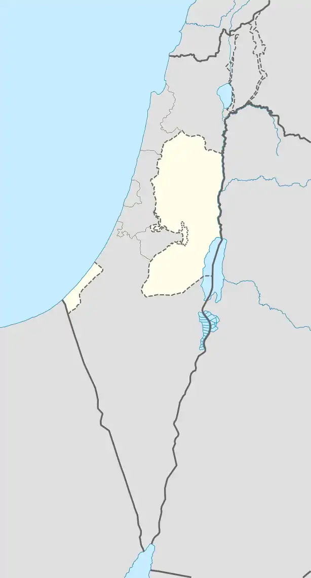
 ash-Shuhada Location of ash-Shuhada within Palestine | |
| Coordinates: 32°25′48″N 35°16′14″E / 32.43000°N 35.27056°E | |
| Palestine grid | 175/203 |
| State | |
| Governorate | Jenin |
| Government | |
| • Type | Village council |
| Population (2017)[1] | |
| • Total | 2,299 |
Ash-Shuhada (Arabic: مثلث الشهداء, martyrs' triangle) is a Palestinian village in the Jenin Governorate of Palestine, located 5 km southwest of the city of Jenin, in the northern West Bank. According to the Palestinian Central Bureau of Statistics, the town had a population of 1,738 inhabitants in mid-year 2006 and 2,299 by 2017.[1][2]
History
Just east of the modern village (at grid 1758/2041), large amounts of pottery sherds have been found, all dating to the Middle Bronze Age IIB.[3]
In the wake of the 1948 Arab–Israeli War, and after the 1949 Armistice Agreements, Ash-Shuhada came under Jordanian rule.
Since the Six-Day War in 1967, Ash-Shuhada has been under Israeli occupation.
Footnotes
- 1 2 Preliminary Results of the Population, Housing and Establishments Census, 2017 (PDF). Palestinian Central Bureau of Statistics (PCBS) (Report). State of Palestine. February 2018. pp. 64–82. Retrieved 2023-10-24.
- ↑ Projected Mid -Year Population for Jenin Governorate by Locality 2004- 2006 Archived 2008-09-20 at the Wayback Machine Palestinian Central Bureau of Statistics
- ↑ Zertal, 2004, p. 135
Bibliography
- Zertal, A. (2004). The Manasseh Hill Country Survey. Vol. 1. Boston: BRILL. ISBN 9004137564.
External links
- Welcome To The City of al-Shuhada
- Survey of Western Palestine, Map 8: IAA, Wikimedia commons
This article is issued from Wikipedia. The text is licensed under Creative Commons - Attribution - Sharealike. Additional terms may apply for the media files.
