| miejscowość i gmina | |||
_mairie.JPG.webp) | |||
| |||
| Państwo | |||
|---|---|---|---|
| Region | |||
| Departament | |||
| Okręg | |||
| Kod INSEE |
02815 | ||
| Powierzchnia |
8,96 km² | ||
| Populacja (2014 I) • liczba ludności |
| ||
| • gęstość |
53,6 os./km² | ||
| Kod pocztowy |
02590 | ||
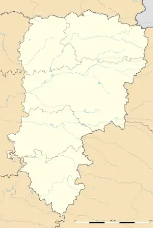
Położenie na mapie Aisne  | |||
Położenie na mapie Francji  | |||
Położenie na mapie regionu Hauts-de-France  | |||
Villers-Saint-Christophe – miejscowość i gmina we Francji, w regionie Hauts-de-France, w departamencie Aisne.
Według danych na styczeń 2014 roku gminę zamieszkiwało 480 osób, a gęstość zaludnienia wynosiła 53,6 osób/km².
Bibliografia
This article is issued from Wikipedia. The text is licensed under Creative Commons - Attribution - Sharealike. Additional terms may apply for the media files.
