 | |
| Państwo | |
|---|---|
| Powierzchnia |
48 km² |
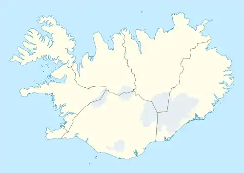
Położenie na mapie Islandii  | |
| 64°43′48″N 17°55′12″W/64,730000 -17,920000 | |
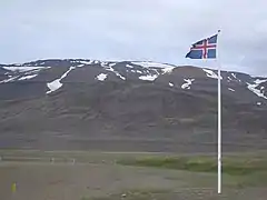
Tungnafellsjökull – siódmy pod względem wielkości lodowiec Islandii. Jego powierzchnia to 48 km².
This article is issued from Wikipedia. The text is licensed under Creative Commons - Attribution - Sharealike. Additional terms may apply for the media files.