 Ulica w Tintan | |
| Państwo | |
|---|---|
| Region | |
| Departament |
Tintan |
| Wysokość |
294[1] m n.p.m. |
| Populacja (2013[2]) • liczba ludności |
|
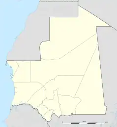
Położenie na mapie Mauretanii  | |
Tintan (arab. الطينطان; fr. Tintane) – miasto w południowej Mauretanii, w regionie Haud al-Gharbi, siedziba administracyjna departamentu Tintan i gminy Tintan. W 2000 roku liczyło ok. 9,9 tys. mieszkańców. Leży przy Route de l’Espoir, jednej z głównych mauretańskich dróg, łączącej Nawakszut z An-Nama.
Przypisy
- ↑ Tintane, Mauritania Page
- ↑ [„Tintane (Department) – Population Statistics, Map and Location.” Tintane (Department, Mauritania). City Population, 2013. ]
This article is issued from Wikipedia. The text is licensed under Creative Commons - Attribution - Sharealike. Additional terms may apply for the media files.