 | |
| Państwo | |
|---|---|
| Terytorium nieinkorporowane | |
| Powierzchnia |
16 km² |
| Populacja (2010) • liczba ludności |
|
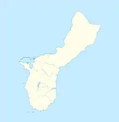
Położenie na mapie Guamu  | |
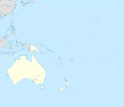
Położenie na mapie Oceanii  | |

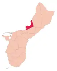
Tamuning (czamorro: Tamuneng) – okręg administracyjny Guamu i jednocześnie jedna z miejscowości[1]. Okręg ma powierzchnię 16 km²[2], a zamieszkany jest przez 19 685 osób (dane spisowe z 2010)[3].
W okręgu znajduje się cywilne międzynarodowe lotnisko Port lotniczy Antonio B. Won Pat zwane potocznie Guam International Airport.
Przypisy
- ↑ Topografic map of Guam, Mariana Islands. 1:50.000. Denver: United States Department of the Interior Geological Survey, 1978.
- ↑ Municipalities of Guam. Administrative Divisions of Countries ("Statoids"). [dostęp 2014-04-09].
- ↑ Guam Statistical Yearbook 2010. Bureau of Statistics and Plans, Government of Guam. [dostęp 2014-04-09].
This article is issued from Wikipedia. The text is licensed under Creative Commons - Attribution - Sharealike. Additional terms may apply for the media files.