 | |
| Państwo | |
|---|---|
| Kraj | |
| Region | |
| Hrabstwo ceremonialne | |
| Unitary authority | |
| Populacja (2011) • liczba ludności |
|
| Kod pocztowy |
NE43 |
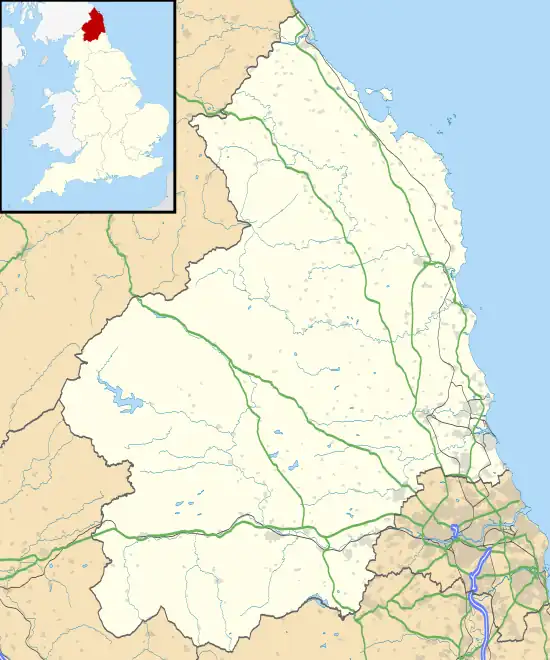
Położenie na mapie Northumberland  | |
Położenie na mapie Wielkiej Brytanii  | |
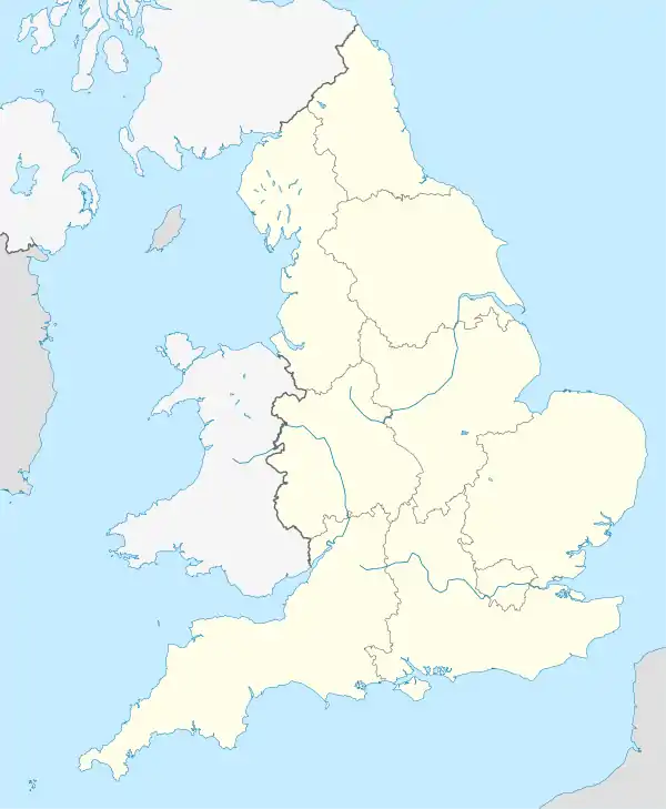
Położenie na mapie Anglii  | |
| Strona internetowa | |
Stocksfield – civil parish w Anglii, w hrabstwie Northumberland. Leży 20 km na zachód od miasta Newcastle upon Tyne i 400 km na północ od Londynu[1]. W 2011 civil parish liczyła 3011 mieszkańców[2]. W obszar civil parish wchodzą także Apperley, Broomley, East Apperley, Hindley, Kipperlyn, New Ridley, Old Ridley, Ridley Mill i Stocksfield[3][4].
Przypisy
- ↑ Stocksfield na mapie. getamap.ordnancesurvey.co.uk. [dostęp 2010-11-27]. (ang.).
- ↑ Neighbourhood Statistics. [dostęp 2015-04-01]. [zarchiwizowane z tego adresu (2015-10-08)].
- ↑ Strona internetowa
- ↑ Keys To the Past
This article is issued from Wikipedia. The text is licensed under Creative Commons - Attribution - Sharealike. Additional terms may apply for the media files.