 | |
| Państwo | |
|---|---|
| Kraj | |
| Region | |
| Hrabstwo ceremonialne | |
| Unitary authority | |
| Populacja (1931) • liczba ludności |
|
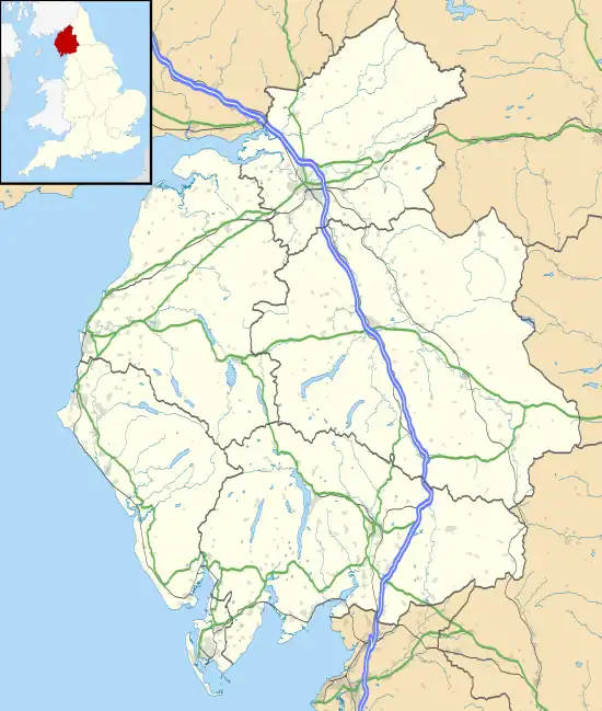
Położenie na mapie Kumbrii  | |
Położenie na mapie Wielkiej Brytanii  | |
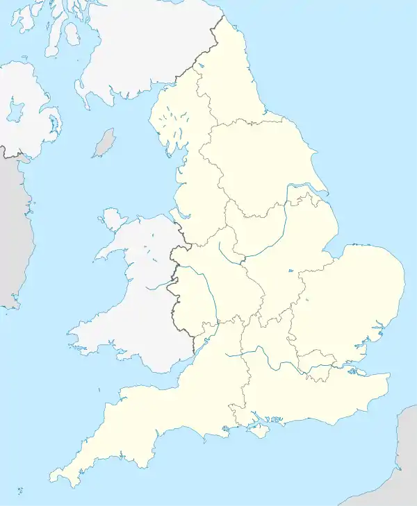
Położenie na mapie Anglii  | |
| 54,77814°N 2,71298°W/54,778143 -2,712979 | |
Staffield – przysiółek w Anglii, w Kumbrii[1], w civil parish Kirkoswald/Ainstable[2][3][4]. W 1931 roku civil parish liczyła 193 mieszkańców[5].
Przypisy
- ↑ near to Staffield, Cumbria, Great Britain. geograph. [dostęp 2013-11-17]. (ang.).
- ↑ Cumbria History
- ↑ zmiany Vision of Britain
- ↑ Historic England
- ↑ Staffield Tn/CP • Total population. A vision of Britain through time. [dostęp 2013-11-17]. (ang.).
This article is issued from Wikipedia. The text is licensed under Creative Commons - Attribution - Sharealike. Additional terms may apply for the media files.