 Wyspa widoczna w tle (na pierwszym planie Półwysep Freycineta) | |
| Państwo | |
|---|---|
| Akwen | |
| Powierzchnia |
28 km² |
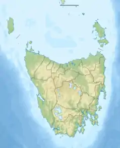
Położenie na mapie Tasmanii  | |
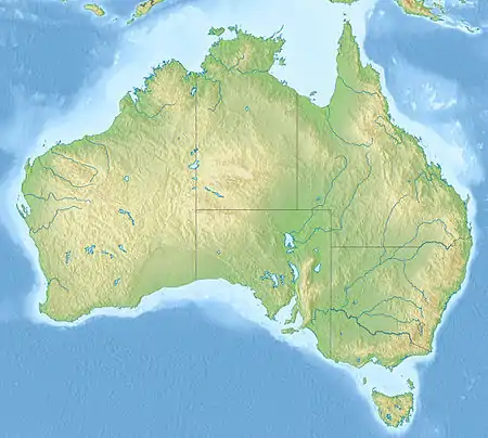
Położenie na mapie Australii  | |
 | |
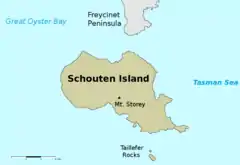
Schouten – wyspa położona u wybrzeży Tasmanii na Morzu Tasmana oddalona 1,6 km na południe od Półwyspu Freycineta. Powierzchnia wyspy wynosi 28 km², w całości leży na terenie Parku Narodowego Freycineta[1][2].
Przypisy
- ↑ C. A Bacon, K. D Corbett, The Schouten Island Coalfield, Mineral Resources Tasmania, Department of Infrastructure, Energy and Resources., 10 sierpnia 1984 [dostęp 2016-12-31].
- ↑ Tasmanian Parks & Wildlife Service, Freycinet National Park, Wye River State Reserve, Management Plan, ISBN 0-7246-2130-X [dostęp 2016-12-31] [zarchiwizowane z adresu 2015-03-01] (ang.).
This article is issued from Wikipedia. The text is licensed under Creative Commons - Attribution - Sharealike. Additional terms may apply for the media files.