 | |
| Państwo | |
|---|---|
| Okręg wyborczy |
Norðvesturkjördæmi |
| Region | |
| Okręg historyczny | |
| Gmina | |
| Populacja (2018) • liczba ludności |
|
| Kod pocztowy |
550, 551 |
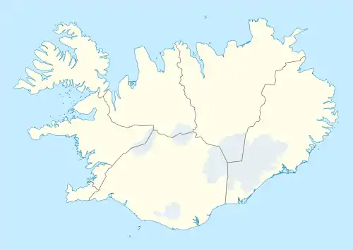
Położenie na mapie Islandii  | |
| Strona internetowa | |
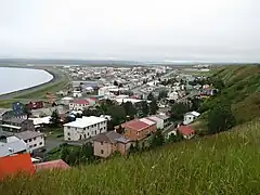
Sauðárkrókur – miejscowość w północnej Islandii, nad fiordem Skagafjörður, w pobliżu ujścia do niego rzeki Héraðsvötn (jej zachodniej odnogi Vestari-Héraðsvötn)[1]. Miasto liczy 2 574 mieszkańców (2018), jest siedzibą gminy Skagafjörður[2].
Sauðárkrókur posiada prawa miejskie od 1947 roku.
Przypisy
- ↑ Map Viewer. National Land Survey of Iceland. [dostęp 2018-07-17]. (ang.).
- ↑ Municipalities and urban nuclei. Hagstofa Íslands. [dostęp 2018-07-17]. (ang.).
This article is issued from Wikipedia. The text is licensed under Creative Commons - Attribution - Sharealike. Additional terms may apply for the media files.