| miejscowość | |
 Widok na miejscowość Saint-Amant-de-Montmoreau | |
| Państwo | |
|---|---|
| Region | |
| Departament | |
| Okręg | |
| Kod INSEE |
16294 |
| Powierzchnia |
27,71 km² |
| Populacja (2013) • liczba ludności |
|
| Kod pocztowy |
16190 |
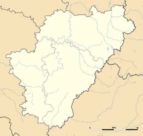
Położenie na mapie Charente  | |
Położenie na mapie Francji  | |
Położenie na mapie Nowej Akwitanii  | |
Saint-Amant-de-Montmoreau – miejscowość i dawna gmina we Francji, w regionie Nowa Akwitania, w departamencie Charente. W 2013 roku populacja gminy wynosiła 715 mieszkańców[1].
W dniu 1 stycznia 2017 roku z połączenia pięciu ówczesnych gmin – Aignes-et-Puypéroux, Montmoreau-Saint-Cybard, Saint-Amant-de-Montmoreau, Saint-Eutrope oraz Saint-Laurent-de-Belzagot – utworzono nową gminę Montmoreau. Siedzibą gminy została miejscowość Montmoreau-Saint-Cybard[2].
Przypisy
- ↑ Populations légales 2013. INSEE. [dostęp 2017-01-19]. (fr.).
- ↑ Arrêté du 29 juin 2016 portant création de la commune nouvelle de Montmoreau. Legifrance. [dostęp 2017-01-19]. (fr.).
This article is issued from Wikipedia. The text is licensed under Creative Commons - Attribution - Sharealike. Additional terms may apply for the media files.