| Rejon | |||||
 | |||||
| Państwo | |||||
|---|---|---|---|---|---|
| Siedziba | |||||
| Powierzchnia |
860 km² | ||||
| Populacja (2014) • liczba ludności |
| ||||
| • gęstość |
96,98 os./km² | ||||
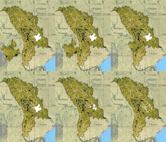
Położenie na mapie | |||||
| Strona internetowa | |||||
Rejon Anenii Noi – rejon administracyjny we wschodniej Mołdawii.
Demografia
Liczba ludności w poszczególnych latach[2]:
| 1959 | 1970 | 1979 | 1989 | 2004 | 2014[1] |
|---|---|---|---|---|---|
| 55 269 | 65 908 | 75 986 | 83 630 | 81 710 | 83 400 |
Gminy
- Botnărești
- Bulboaca
- Calfa
- Chetrosu
- Chirca
- Ciobanovca
- Cobusca Nouă
- Cobusca Veche
- Delacău
- Floreni
- Geamăna
- Gura Bîcului
- Hîrbovăț
- Maximovca
- Mereni
- Merenii Noi
- Ochiul Roș
- Puhăceni
- Roșcani
- Speia
- Șerpeni
- Telița
- Țînțăreni
- Varnița
- Zolotievca
Przypisy
- 1 2 Numărul populaţiei stabile al Republicii Moldova la 1 ianuarie 2014, în profil teritorial. National Bureau of Statistics of the Republic of Moldova. [dostęp 2015-01-21].
- ↑ 1. Population at the 1959, 1970, 1979, 1989 and 2004 censuses, by sex and area, in territorial aspect. National Bureau of Statistics of the Republic of Moldova. [dostęp 2015-01-21].
This article is issued from Wikipedia. The text is licensed under Creative Commons - Attribution - Sharealike. Additional terms may apply for the media files.


