| miejscowość | |
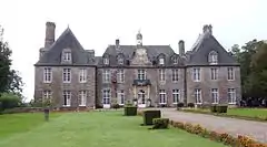
 Zamek w Rabodanges | |
| Państwo | |
|---|---|
| Region | |
| Departament | |
| Okręg | |
| Kod INSEE |
61340 |
| Powierzchnia |
9,31 km² |
| Populacja (2013) • liczba ludności |
|
| Kod pocztowy |
61210 |
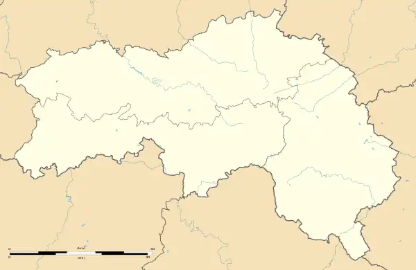
Położenie na mapie Orne  | |
Położenie na mapie Francji  | |
Położenie na mapie Normandii  | |
Rabodanges (ⓘ) – miejscowość i dawna gmina we Francji, w regionie Normandia, w departamencie Orne. W 2013 roku jej populacja wynosiła 154 mieszkańców[1].
W dniu 1 stycznia 2016 roku z połączenia dziewięciu ówczesnych gmin – Chênedouit, La Forêt-Auvray, La Fresnaye-au-Sauvage, Ménil-Jean, Putanges-Pont-Écrepin, Rabodanges, Les Rotours, Saint-Aubert-sur-Orne oraz Sainte-Croix-sur-Orne – utworzono nową gminę Putanges-le-Lac. Siedzibą gminy została miejscowość Putanges-Pont-Écrepin[2].
Przypisy
- ↑ Populations légales 2013. INSEE. [dostęp 2016-12-22]. (fr.).
- ↑ Recueil des Actes Administratif. orne.gouv.fr. [dostęp 2016-12-22]. (fr.).
This article is issued from Wikipedia. The text is licensed under Creative Commons - Attribution - Sharealike. Additional terms may apply for the media files.