| Jednostka administracyjna | |||
| |||
| Państwo | |||
|---|---|---|---|
| Kraj | |||
| Ośrodek administracyjny | |||
| Kod ISO 3166-2 |
GB-MRY | ||
| Powierzchnia |
2238 km²[1] | ||
| Populacja (2011) • liczba ludności |
| ||
| • gęstość |
42 os./km² | ||
Położenie na mapie | |||
| Strona internetowa | |||
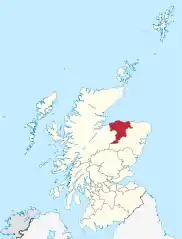
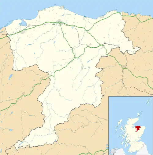
Moray (gael. Moireibh[2]) – jednostka administracyjna (council area) w północno-wschodniej Szkocji, nad Morzem Północnym. Zajmuje powierzchnię 2238 km², a zamieszkana jest przez 93 470 osób (2011)[1]. Ośrodkiem administracyjnym jest Elgin.
Utworzona w 1996 roku, obejmuje większą część historycznych hrabstw Moray oraz Banffshire[3].
Miejscowości

Największe miejscowości w Moray (powyżej 1500 mieszkańców, 2020 r.[4])
- Aberlour
- Alves
- Archiestown
- Arradoul
- Broadley
- Buckie
- Burghead
- Clochan
- Craigellachie
- Cullen
- Cummingston
- Dallas
- Dipple
- Drybridge
- Dufftown
- Duffus
- Elgin
- Findhorn
- Findochty
- Fochabers
- Forres
- Fogwatt
- Garmouth
- Hopeman
- Ianstown
- Inchberry
- Keith
- Kinloss
- Lhanbryde
- Longmorn
- Lossiemouth
- Mosstodloch
- Newmill
- Portgordon
- Portknockie
- Rathven
- Rafford
- Rothes
- Rothiemay
- Spey Bay
- Tomintoul
- Upper Dallachy
- Urquhart
Przypisy
- 1 2 3 Table 8a: Land area and population density by administrative area, mid-2011. General Register Office for Scotland. [dostęp 2013-09-21]. (ang.).
- ↑ Moray. Ainmean-Àite na h-Alba. [dostęp 2023-07-16]. (ang.).
- ↑ Boundaries viewer. National Library of Scotland. [dostęp 2023-07-16]. (ang.).
- ↑ Settlements and Localities 2020. National Records of Scotland. [dostęp 2022-06-03]. (ang.).
This article is issued from Wikipedia. The text is licensed under Creative Commons - Attribution - Sharealike. Additional terms may apply for the media files.
