 | |
| Państwo | |
|---|---|
| Prowincja | |
| Hrabstwo | |
| Powierzchnia |
20,74[1] km² |
| Wysokość |
83 m n.p.m. |
| Populacja (2011) • liczba ludności |
|
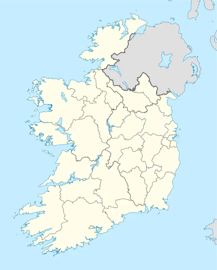
Położenie na mapie Irlandii  | |
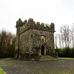
Monivea (irl. Mhuine an Mheá) – wieś w hrabstwie Galway w Irlandii[1].
Przypisy
- 1 2 3 Population Classified by Area. [dostęp 2013-03-17]. (ang.).
This article is issued from Wikipedia. The text is licensed under Creative Commons - Attribution - Sharealike. Additional terms may apply for the media files.
