| miejscowość i gmina | |||
 | |||
| |||
| Państwo | |||
|---|---|---|---|
| Region | |||
| Departament | |||
| Okręg | |||
| Kod INSEE |
17485 | ||
| Powierzchnia |
6,03 km² | ||
| Populacja (1990) • liczba ludności |
| ||
| • gęstość |
119 os./km² | ||
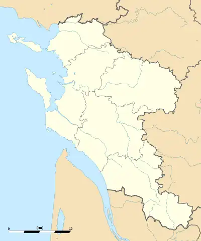
Położenie na mapie Charente-Maritime  | |||
Położenie na mapie Francji  | |||
Położenie na mapie Nowej Akwitanii  | |||
| 45°51′36″N 1°14′12″W/45,860000 -1,236667 | |||
| Strona internetowa | |||
Le Grand-Village-Plage – miejscowość i gmina we Francji, w regionie Nowa Akwitania, w departamencie Charente-Maritime.
Według danych na rok 1990 gminę zamieszkiwało 718 osób, a gęstość zaludnienia wynosiła 119 osób/km² (wśród 1467 gmin regionu Poitou-Charentes Le Grand-Village-Plage plasuje się na 421. miejscu pod względem liczby ludności, natomiast pod względem powierzchni na miejscu 1031.).
Bibliografia
- Francuski urząd statystyczny. (fr.).
This article is issued from Wikipedia. The text is licensed under Creative Commons - Attribution - Sharealike. Additional terms may apply for the media files.
.svg.png.webp)