 | |||||
| Państwo | |||||
|---|---|---|---|---|---|
| Prowincja |
Choapa | ||||
| Alkad |
Denis Cortés Vargas | ||||
| Powierzchnia |
2629,1 km² | ||||
| Populacja (2002) • liczba ludności • gęstość |
| ||||
| Nr kierunkowy |
+56 | ||||
 | |||||
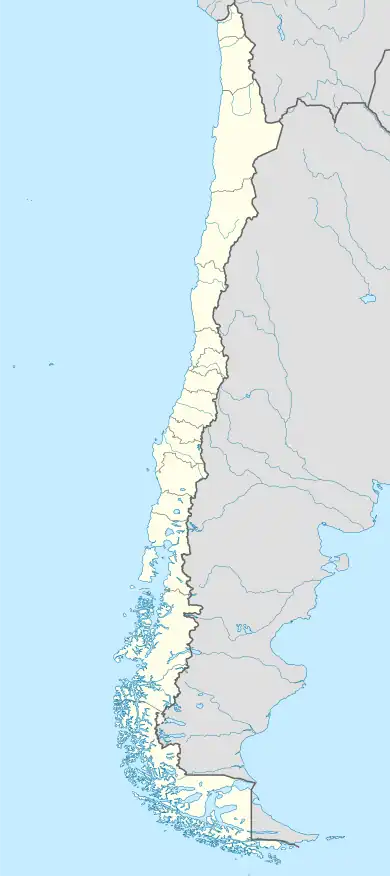
Położenie na mapie Chile  | |||||
| Strona internetowa | |||||
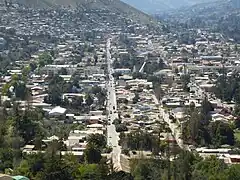
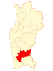
Illapel – miasto w chilijskiej prowincji Choapa w regionie Coquimbo[1].
Przypisy
This article is issued from Wikipedia. The text is licensed under Creative Commons - Attribution - Sharealike. Additional terms may apply for the media files.

