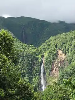
 Wodospady w Carbet | |
| Państwo | |
|---|---|
| Departament zamorski | |
| Mer |
Joël Beaugendre |
| Powierzchnia |
104.31 km² |
| Wysokość |
0-1450 m n.p.m. |
| Populacja (2011) • liczba ludności • gęstość |
|
| Kod pocztowy |
97130 |
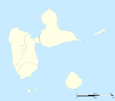
Położenie na mapie Gwadelupy  | |
| Strona internetowa | |
Capesterre-Belle-Eau – miasto i gmina na Gwadelupie (departament zamorski Francji); 19 448 mieszkańców (2011). Przemysł spożywczy.
Miejscowość
Bananier, Bélair, Cacador, Cacoville, Cambrefort, Cantamerle, Carangaise, Christophe, La Digue, Fonds-Cacao, Grande-Chasse, L'Habituée, Îlet-Pérou, Mon Repos, Moravie, Moulin-à-l'Eau, Neuf-Château, La Plaine, Routhiers, Saint-Sauveur, Sainte-Marie, Source-Pérou
Zabytki i atrakcje turystyczne
- chutes du Carbet, najwyższe wodospady w Gwadelupie
- Allée Dumanoir[6], wyłożona Royal Palms
- Cmentarz niewolnika
- Destylarnia Rhum Longueteau, która działa nadal pary
- Hindu Temple of Changy
This article is issued from Wikipedia. The text is licensed under Creative Commons - Attribution - Sharealike. Additional terms may apply for the media files.