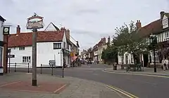
 High Street w Buntingford | |
| Państwo | |
|---|---|
| Kraj | |
| Region | |
| Hrabstwo | |
| Dystrykt | |
| Populacja (2001) • liczba ludności |
|
| Nr kierunkowy |
01763 |
| Kod pocztowy |
SG9 |
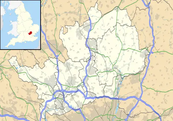
Położenie na mapie Hertfordshire  | |
Położenie na mapie Wielkiej Brytanii  | |
Położenie na mapie Anglii  | |
| Strona internetowa | |
Buntingford – miasto i civil parish w Wielkiej Brytanii, w Anglii, w regionie East of England, w hrabstwie Hertfordshire, w dystrykcie East Hertfordshire[1]. Leży 16,9 km od miasta Hertford i 48,2 km od Londynu[2]. W 2001 roku miasto liczyło 4820 mieszkańców[3]. W 2011 roku civil parish liczyła 4948 mieszkańców[4]. Buntingford jest wspomniana w Domesday Book (1086) jako Ichetone[5].
Przypisy
- ↑ Buntingford. Ordnance Survey linked data. [dostęp 2016-06-29]. (ang.).
- ↑ Distance from BUNTINGFORD [TL363291]. GENUKI. [dostęp 2016-06-29]. (ang.).
- ↑ KS01 Usual resident population: Census 2001, Key Statistics for urban areas. Office for National Statistics. [dostęp 2016-06-29]. [zarchiwizowane z tego adresu (2004-07-23)]. (ang.).
- ↑ Area: Buntingford (Parish). Neighbourhood Statistics (ONS). [dostęp 2016-06-29]. [zarchiwizowane z tego adresu (2016-10-11)]. (ang.).
- ↑ Hertfordshire. The Domesday Book online. [dostęp 2016-06-29]. (ang.).
This article is issued from Wikipedia. The text is licensed under Creative Commons - Attribution - Sharealike. Additional terms may apply for the media files.