| miejscowość i gmina | |
 | |
| Państwo | |
|---|---|
| Region | |
| Departament | |
| Okręg | |
| Kanton |
Nantua |
| Kod INSEE |
01011 |
| Mer |
Jean-Pierre Girard (1995-2001, 2008-2020) |
| Powierzchnia |
14,57 km² |
| Wysokość |
658-1042 m n.p.m. |
| Populacja (2012) • liczba ludności |
|
| • gęstość |
26,0 os./km² |
| Kod pocztowy |
01100 |
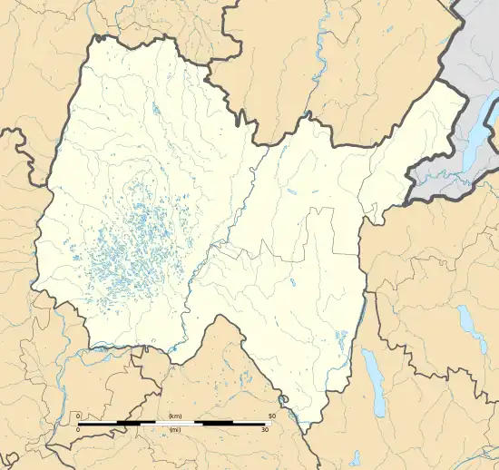
Położenie na mapie Ain  | |
Położenie na mapie Francji  | |
Położenie na mapie regionu Owernia-Rodan-Alpy  | |
| Strona internetowa | |
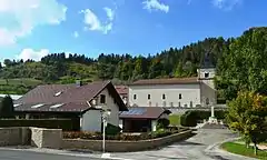
Apremont – miejscowość i gmina we Francji, w regionie Owernia-Rodan-Alpy, w departamencie Ain.
Demografia
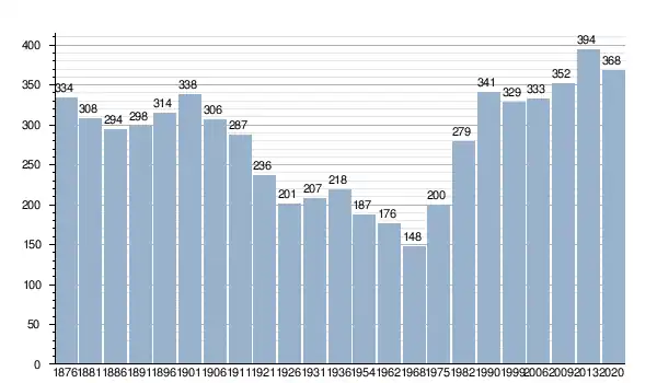
Według danych na rok 2020 gminę zamieszkiwało 379 osób[1], a gęstość zaludnienia wynosiła 26,0 osób/km².

Liczba ludności miejscowości Apremont od 1876
Źródło: Historique des populations communales. insee.fr, 29 grudnia 2022. [dostęp 2023-11-09]. (fr.).
Źródło: Historique des populations communales. insee.fr, 29 grudnia 2022. [dostęp 2023-11-09]. (fr.).
Przypisy
- ↑ Populations légales 2020 - Commune d'Apremont (01011). insee.fr, 29 grudnia 2022. [dostęp 2023-11-08]. (fr.).
This article is issued from Wikipedia. The text is licensed under Creative Commons - Attribution - Sharealike. Additional terms may apply for the media files.