Zaprężyn | |
|---|---|
Village | |
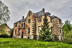
 Palace in Zaprężyn | |
 Zaprężyn  Zaprężyn | |
| Coordinates: 51°15′N 17°12′E / 51.250°N 17.200°E | |
| Country | |
| Voivodeship | Lower Silesian |
| County | Wrocław County |
| Gmina | Długołęka |
| Time zone | UTC+1 (CET) |
| • Summer (DST) | UTC+2 (CEST) |
| Vehicle registration | DWR |
| Primary airport | Copernicus Airport Wrocław |
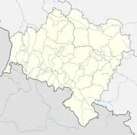
Zaprężyn [zaˈprɛ̃ʐɨn] is a village in the administrative district of Gmina Długołęka, within Wrocław County, Lower Silesian Voivodeship, in south-western Poland.[1]
It lies approximately 9 kilometres (6 mi) north of Długołęka, and 18 kilometres (11 mi) north-east of the regional capital Wrocław.
History
The area became part of the emerging Polish state in the 10th century. Centuries later it passed to Bohemia (Czechia), Prussia and Germany. In 1936, the Nazi government of Germany renamed it to Lindenhof to erase traces of Polish origin. In 1945, following Germany's defeat in World War II, the village became again part of Poland and its historic name was restored.
References
This article is issued from Wikipedia. The text is licensed under Creative Commons - Attribution - Sharealike. Additional terms may apply for the media files.