| Zala | |
|---|---|
 | |
| Location | |
| Country | Hungary |
| Physical characteristics | |
| Source | |
| • location | near Szalafő |
| Mouth | |
• location | Lake Balaton |
• coordinates | 46°42′21″N 17°15′53″E / 46.7059°N 17.2646°E |
| Length | 139 km (86 mi) |
| Basin size | 2,622 km2 (1,012 sq mi) |
| Basin features | |
| Progression | Lake Balaton→ Sió→ Danube→ Black Sea |

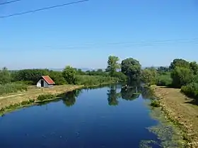
The estuary of Zala river at Balaton Lake, Hungary

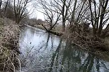
Zala river at Csácsbozsok locale of Zalaegerszeg city, Zala county, Hungary
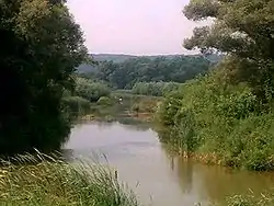
The Zala is a river in south-western Hungary. Its source is in the hills northwest of Szalafő near the borders with Austria and Slovenia. Its length is 139 kilometres (86 mi) and drains water from 2,622 km2 (1,012 sq mi). Several smaller rivers feed into it, including the Felső-Válicka, Szentmihályfalvai patak (brook), Szévíz csatorna (channel), Foglár csatorna on the right bank, and Szentjakabi patak, Sárvíz (Zala) patak, Széplaki patak, Csörgető patak and Nádas patak on the left bank. It flows through the city of Zalaegerszeg before flowing into Lake Balaton near Keszthely. The River Zala flows through the Hungarian counties of Vas and Zala.[1]
See also
References
- ↑ "ZALA VÍZGYŰJTŐ-GAZDÁLKODÁS TERVEZÉSI ALEGYSÉGEN (4.2.)" (PDF). Retrieved 2011-03-11.
External links
Wikimedia Commons has media related to Zala River.
This article is issued from Wikipedia. The text is licensed under Creative Commons - Attribution - Sharealike. Additional terms may apply for the media files.