由利海岸波除石垣 | |
 Yuri Coast Seawall | |
 Yuri Coast Seawall  Yuri Coast Seawall (Akita Prefecture)  Yuri Coast Seawall (Japan) | |
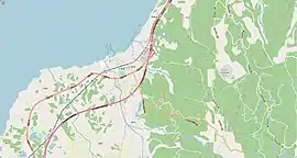
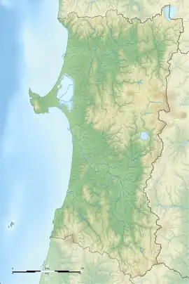
| Location | Nikaho, Akita, Japan |
|---|---|
| Region | Tohoku region |
| Coordinates | 39°16′51″N 139°55′18″E / 39.28083°N 139.92167°E |
| History | |
| Periods | Edo period |
| Site notes | |
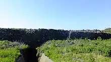
The Yuri Coast Seawall (由利海岸波除石垣, Yuri kaigan namiyoke ishigaki) is an Edo period seawall against high waves, salt spray, and strong winds on the Sea of Japan coast in what is now part of the city of Nikaho, Akita.[1] Its remains were designated a National Historic Site of Japan in 1997.[2]
Overview
Under the Edo period Tokugawa shogunate, the coastal area of Dewa Province in what is now the city of Nikaho was part of the 20,000 koku holdings of Honjō Domain. The actual date of construction of a seawall in this location is not certain, but it is believed to be sometime in the 18th century. The wall is built of natural stones, with the large stones having a diameter of around 30 to 50 centimeters, and the spaces in between filled with crushed stones and gravel. The method is consistent with the construction method for Japanese castle walls during the 18th century. The height of the wall was from 1.2 meters to 3 meters, and it incorporated a number of water gates. The structure is no longer continuous due to damage from storms, earthquakes and pilferage, but four sections with a total length of 370 meters remain[3] The seawall is approximately 10 minutes by car from Nikaho Station on the JR East Uetsu Main Line. [4]
See also
References
- ↑ 由利海岸波除石垣 [Yuri Coast Sea Wall] (in Japanese). Akita Prefecture. Retrieved 19 June 2012.
- ↑ "由利海岸波除石垣" (in Japanese). Agency for Cultural Affairs.
- ↑ Isomura, Yukio (2012). 国指定史跡事典. 学生社. p. 533. ISBN 978-4311750403.
- ↑ Isomura, Yukio; Sakai, Hideya (2012). (国指定史跡事典) National Historic Site Encyclopedia. 学生社. ISBN 978-4311750403.(in Japanese)
External links
- Akita Prefecture official site (in Japanese)
- NIkaho Tourist Information (in Japanese)