Yunguyo | |
|---|---|
Town | |
 Street in Yunguyo leading to the border crossing to Bolivia | |
 Yunguyo | |
| Coordinates: 16°14′39.06″S 69°05′33.95″W / 16.2441833°S 69.0927639°W | |
| Country | Peru |
| Region | Puno |
| Province | Yunguyo |
| Population (2008) | |
| • Total | 12,625 |
| Time zone | UTC-5:00 (EST) |
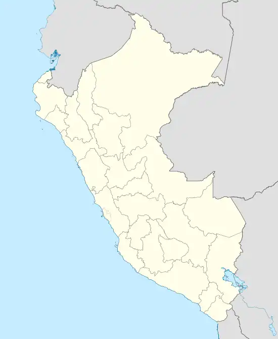
Yunguyo is a town in the Puno Region in southeastern Peru. It is the capital of Yunguyo Province and Yunguyo District. It has a population of 12,625 (2008 estimate).
Yunguyo is located on a peninsula on the shores of Lake Titicaca. The border with Bolivia runs next to the town and a road connects it with the town of Copacabana located a few kilometers away on the Bolivian side of the peninsula.
Climate
| Climate data for Tahuaco-Yunguyo (elevation 3,888 m (12,756 ft), 1991–2020 normals) | |||||||||||||
|---|---|---|---|---|---|---|---|---|---|---|---|---|---|
| Month | Jan | Feb | Mar | Apr | May | Jun | Jul | Aug | Sep | Oct | Nov | Dec | Year |
| Mean daily maximum °C (°F) | 14.7 (58.5) |
14.9 (58.8) |
15.0 (59.0) |
15.1 (59.2) |
14.5 (58.1) |
13.4 (56.1) |
13.2 (55.8) |
14.1 (57.4) |
14.9 (58.8) |
15.8 (60.4) |
16.5 (61.7) |
15.8 (60.4) |
14.8 (58.7) |
| Mean daily minimum °C (°F) | 4.0 (39.2) |
3.9 (39.0) |
3.7 (38.7) |
2.2 (36.0) |
−0.4 (31.3) |
−2.0 (28.4) |
−2.0 (28.4) |
−0.8 (30.6) |
1.0 (33.8) |
2.2 (36.0) |
3.2 (37.8) |
3.9 (39.0) |
1.6 (34.9) |
| Average precipitation mm (inches) | 174.3 (6.86) |
145.0 (5.71) |
120.3 (4.74) |
41.0 (1.61) |
11.4 (0.45) |
10.4 (0.41) |
9.7 (0.38) |
18.5 (0.73) |
27.0 (1.06) |
47.3 (1.86) |
54.6 (2.15) |
98.7 (3.89) |
758.2 (29.85) |
| Source: National Meteorology and Hydrology Service of Peru[1] | |||||||||||||
References
- ↑ "Normales Climáticas Estándares y Medias 1991-2020". National Meteorology and Hydrology Service of Peru. Archived from the original on 21 August 2023. Retrieved 25 October 2023.
This article is issued from Wikipedia. The text is licensed under Creative Commons - Attribution - Sharealike. Additional terms may apply for the media files.