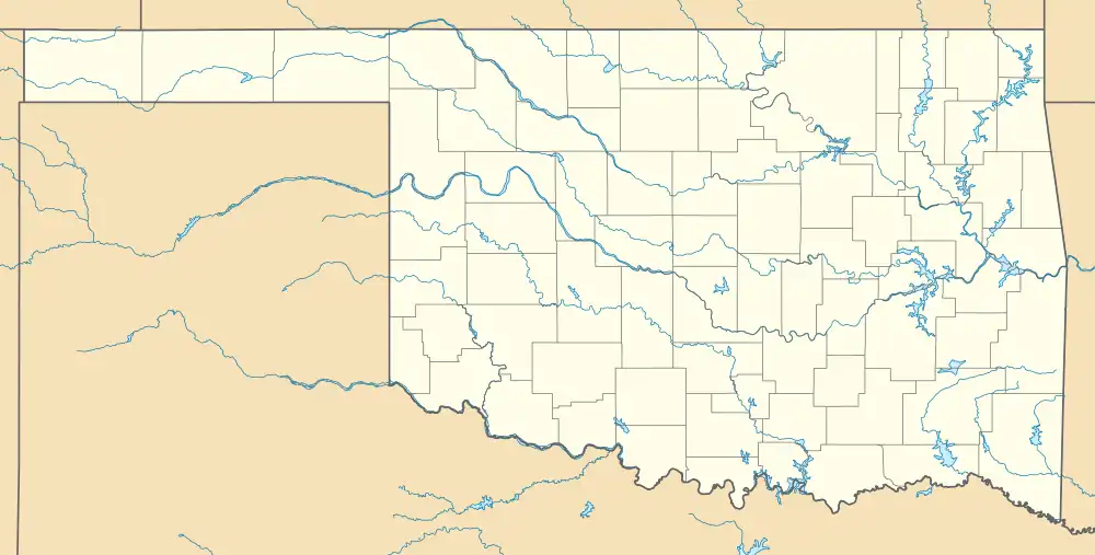
Wolf, Oklahoma | |
|---|---|
 Wolf, Oklahoma | |
| Coordinates: 35°05′15″N 96°39′31″W / 35.08750°N 96.65861°W | |
| Country | United States |
| State | Oklahoma |
| County | Seminole |
| Elevation | 965 ft (294 m) |
| Time zone | UTC-6 (Central (CST)) |
| • Summer (DST) | UTC-5 (CDT) |
| Area code | 405 |
| GNIS feature ID | 1099937[1] |
Wolf is an unincorporated community in Seminole County, Oklahoma, United States.[1] Wolf is west-southwest of Wewoka, Oklahoma, the county seat, and less than five miles south of Bowlegs, Oklahoma.[2] It is located east of the concurrent US-377/OK-99, as well as east of Old State Highway 99, on EW1330 Rd.[3] It had a post office from February 25, 1903 to September 14, 1907.[4]
Notable person
- Lyle Boren - worked as a school teacher in Wolf prior to serving in the United States Congress from 1937 to 1947.
References
- 1 2 3 U.S. Geological Survey Geographic Names Information System: Wolf, Oklahoma
- ↑ "Bowlegs, Oklahoma to Wolf, Oklahoma". Google Maps. Retrieved June 28, 2021.
- ↑ "Wolf, Oklahoma". Google Maps. Retrieved June 28, 2021.
- ↑ "Ghost Towns". The Seminole Nation. Retrieved June 28, 2021.
This article is issued from Wikipedia. The text is licensed under Creative Commons - Attribution - Sharealike. Additional terms may apply for the media files.
