| Whakatāne | |
|---|---|
  | |
| Summit depth | −900 metres (−3,000 ft) |
| Height | 1,200 metres (3,900 ft) |
| Translation | (from Māori) |
| Location | |
| Range | Kermadec Arc |
| Coordinates | 36°49′S 177°28′E / 36.817°S 177.467°E |
| Geology | |
| Type | Submarine volcano |
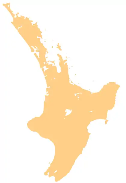
Whakatāne Seamount (also known as Whakatāne Volcano) is a submarine stratovolcano situated some 130 kilometres (81 mi) off the Bay of Plenty coastline of New Zealand.[1][2] It is found within the Kermadec Arc, and is one of the northernmost volcanoes of the Taupō Volcanic Zone and is usually recognised as the most southern of the South Kermadec Ridge Seamounts.[3] The seamount rises some 1,200 metres (3,900 ft) from the seafloor, and reaches 900 metres (3,000 ft) below sea level at its highest point.[1]
See also
References
- 1 2 Wright, Ian C. (1994). "Nature and tectonic setting of the southern Kermadec submarine arc volcanoes: An overview". Marine Geology. 118 (3–4): 217–236. Bibcode:1994MGeol.118..217W. doi:10.1016/0025-3227(94)90085-X.
- ↑ Gamble, John A.; Wright, Ian C.; Baker, J. A. (1993). "Seafloor geology and petrology in the oceanic to continental transition zone of the Kermadec‐Havre‐Taupo Volcanic Zone arc system, New Zealand". New Zealand Journal of Geology and Geophysics. 36 (4): 417–435. doi:10.1080/00288306.1993.9514588.
- ↑ Gamble, John A.; Christie, Rob H. K.; Wright, Ian C.; Wysoczanski, Richard J. (1997). "Primitive K-rich magmas from Clark volcano, southern Kermadec Arc: a paradox in the K-depth relationship". The Canadian Mineralogist. 35: 275–290.
This article is issued from Wikipedia. The text is licensed under Creative Commons - Attribution - Sharealike. Additional terms may apply for the media files.