Westies | |
|---|---|
City | |
| Westenburg | |
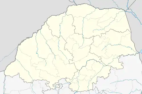
 Westies Interactive map of Westenburg  Westies Westies (South Africa)  Westies Westies (Africa) .svg.png.webp) Westies Westies (Earth) | |
| Coordinates: 23°54′22″S 29°25′46″E / 23.906033°S 29.429565°E | |
| Country | South Africa |
| Province | Limpopo |
| District | Capricorn |
| Municipality | Polokwane Municipality |
| Main Place | Polokwane |
| Government | |
| • Executive Mayor | Thembi Nkadimeng (ANC) |
| • Mayor [1] | Makoro John Mpe |
| Area | |
| • Total | 1.32 km2 (0.51 sq mi) |
| Population (2011)[1] | |
| • Total | 10,201 |
| • Density | 7,700/km2 (20,000/sq mi) |
| Demonym | Skaapie |
| Racial makeup (2011) | |
| • Black African | 64.85% |
| • Coloured | 32.99% |
| • Indian/Asian | 0.58% |
| • White | 0.33% |
| • Other | 1.25% |
| First languages (2011) | |
| • Sepedi | 41.43% |
| • Afrikaans | 29.47% |
| • English | 13.23% |
| • Xitsonga | 2.42% |
| • Other | 13.45% |
| Time zone | UTC+2 (SAST) |
| Postal code (street) | 0699 |
| PO box | 0700 |
| Area code | 015 |
| Bird | Northern royal albatross |
| Flower | Blue squill |
| Website | www |
Westenburg (or simply Westies), is a pre-urban human settlement (and sub-area) situated in Polokwane under the Capricorn District Municipality in the Limpopo province of South Africa.[1]
References
![]() Media related to Polokwane at Wikimedia Commons
Media related to Polokwane at Wikimedia Commons
This article is issued from Wikipedia. The text is licensed under Creative Commons - Attribution - Sharealike. Additional terms may apply for the media files.
.svg.png.webp)