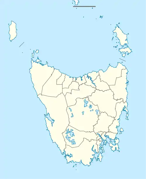
| Weegena Tasmania | |||||||||||||||
|---|---|---|---|---|---|---|---|---|---|---|---|---|---|---|---|
 Weegena | |||||||||||||||
| Coordinates | 41°28′09″S 146°28′22″E / 41.4693°S 146.4728°E | ||||||||||||||
| Population | 91 (2016 census)[1] | ||||||||||||||
| Postcode(s) | 7304 | ||||||||||||||
| Location | 43 km (27 mi) SE of Devonport | ||||||||||||||
| LGA(s) | Meander Valley, Kentish | ||||||||||||||
| Region | North West | ||||||||||||||
| State electorate(s) | Lyons | ||||||||||||||
| Federal division(s) | Lyons | ||||||||||||||
| |||||||||||||||
Weegena is a locality and small rural community in the local government areas of Meander Valley and Kentish in the North West region of Tasmania. It is located about 43 kilometres (27 mi) south-east of the town of Devonport. The 2016 census determined a population of 91 for the state suburb of Weegena.[1]
History
The locality name is believed to mean “campfire” or “fireplace”, but other meanings have been suggested. It was previously known as Blackmore. The name was gazetted in 1965.[2]
Geography
The Mersey River passes through the centre of the locality from east to west after forming part of the south-east boundary. It then forms the north-west boundary.[3]
Road infrastructure
The C160 route (Weegena Road) enters the locality from the east, before turning north and exiting. The C159 route (Dynans Bridge Road) starts at an intersection with route C160 and exits to the north-west as it crosses the Mersey River.[4]
References
- 1 2 "2016 Census Quick Stats Weegena (Tas.)". quickstats.censusdata.abs.gov.au. Australian Bureau of Statistics. 23 October 2017. Retrieved 23 March 2020.
- ↑ "Placenames Tasmania - Weegena". Placenames Tasmania. Search, enter 1300M, Search, select row, show Details. Retrieved 23 March 2020.
- ↑ Google (23 March 2020). "Weegena, Tasmania" (Map). Google Maps. Google. Retrieved 23 March 2020.
- ↑ "Tasmanian Road Route Codes" (PDF). Department of Primary Industries, Parks, Water & Environment. May 2017. Archived from the original (PDF) on 1 August 2017. Retrieved 23 March 2020.