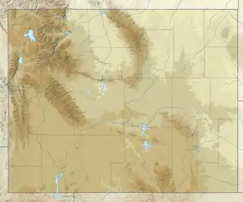
| Washakie Glacier | |
|---|---|
 Washakie Glacier | |
| Type | Mountain glacier |
| Location | Fremont County, Wyoming, USA |
| Coordinates | 42°48′31″N 109°14′47″W / 42.80861°N 109.24639°W[1] |
| Length | .20 mi (0.32 km) |
| Terminus | Talus |
| Status | Retreating |
Washakie Glacier is on the east side of the Continental Divide in the southern Wind River Range in the U.S. state of Wyoming. The glacier is in the Popo Agie Wilderness of Shoshone National Forest. Washakie Glacier is situated in a north facing cirque between Mount Washakie and Bair Peak.[2]
See also
References
- ↑ "Washakie Glacier". Geographic Names Information System. United States Geological Survey, United States Department of the Interior. Retrieved August 26, 2012.
- ↑ Lizard Head Peak, WY (Map). TopoQwest (United States Geological Survey Maps). Retrieved August 26, 2012.
This article is issued from Wikipedia. The text is licensed under Creative Commons - Attribution - Sharealike. Additional terms may apply for the media files.